10 Most Dangerous Towns In The United States
 |
| Top 10 Most Dangerous Towns In The United States |
The most dangerous town in America is Nome, Alaska, which reported 4,205 violent crimes per 100,000 people — more than 10 times the national violent crime rate of 399 for every 100,000 people. The town of 3,900 residents had 164 violent crimes and two murders in 2020, according to FBI data. Nome’s five-year poverty rate of 7.5% is relatively low. The comparable national poverty rate is 13.4%. While local violence and murder rates shift over time, many impoverished cities have not been able to overcome the problem. Dying industrial cities in the Midwest often face insurmountable efforts to bring crime down.
Detroit is a good example. The city does not have the resources to improve its crime situation, at least by much, according to 24/7 Wall St. Take a look at the top 10 most dangerous towns in the United States.
Total number of homicides in the United States in 2020, by state (according to Statista)
With the largest population, California also recorded the largest number of homicides in 2020, at 2,203 for the year. Texas had the second-highest number of murders, with 1,931 for the year. These high numbers are likely a result of the population though, as both states had a murder rate per 100,000 residents below the national average.
There was a total of 21,570 reported homicide cases in the U.S. in 2020. When looking at murder victims by gender and ethnicity, the vast majority were male, while just over half of victims were African American. Geographically the rate of murders varied significantly between states. Louisiana was the most dangerous state with 15.8 murders per 100,000 residents, while New Hampshire was the safest with a murder rate of 0.9 per 100,000 population.
Are murders up?
In short, no – since the 1990s the number of murders in the U.S. has decreased significantly. In 1990, the murder rate per 100,000 people stood at 9.4; and stood at 6.5 in 2020. It should be noted though that number of homicides increased slightly from 2014 to 2017, although figures declined again in 2018 and 2019, before ticking up again in 2020. Despite this decline, when viewed in international comparison the U.S. murder rate is still notably high. For example, the Canadian homicide rate stood at 1.8 in 2019, while the homicide rate in England and Wales was even lower at 1.22 per 100,000 residents.
List of top 10 most dangerous towns in the U.S
1. Nome, Alaska
2. Benton Harbor, Michigan
3. Osceola, Arkansas
4. Florida City, Florida
5. West Memphis, Arkansas
6. Barnwell, South Carolina
7. Wadesboro, North Carolina
8. Opelousas, Louisiana
9. Bolivar, Tennessee
10. Salem, New Jersey
*****
What are the most dangerous towns in the United States?
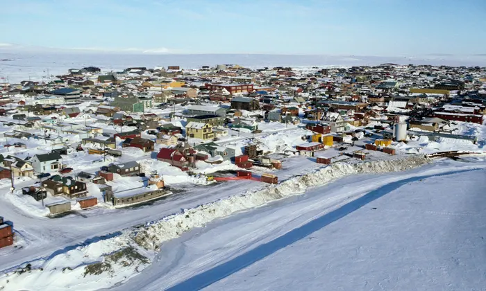
1. Nome, Alaska
 |
| Photo: The Guardian |
Violent crimes per 100k people: 4,205.1
> Number of violent crimes: 164 — 54th highest of 3,606 towns
> Murders reported in 2020: 2 — 142nd highest of 3,606 towns (tied)
> Poverty rate: 7.5% — 936th lowest of 3,606 towns
> Population within reporting jurisdiction: 3,900
Nome is a city in the Nome Census Area in the Unorganized Borough of Alaska, United States. The city is located on the southern Seward Peninsula coast on Norton Sound of the Bering Sea. It had a population of 3,699 recorded in the 2020 census, up from 3,598 in 2010. Nome was incorporated on April 9, 1901, and was once the most-populous city in Alaska. Nome lies within the region of the Bering Straits Native Corporation, which is headquartered in Nome.
The city of Nome also claims to be home to the world's largest gold pan, although this claim has been disputed by the Canadian city of Quesnel, British Columbia.
In the winter of 1925, a diphtheria epidemic raged among Alaska Natives in the Nome area. Fierce territory-wide blizzard conditions prevented the delivery of a life-saving serum by airplane from Anchorage. A relay of dog sled teams was organized to deliver the serum. Today, the Iditarod Dog Sled Race follows the same route they took and ends in Nome.
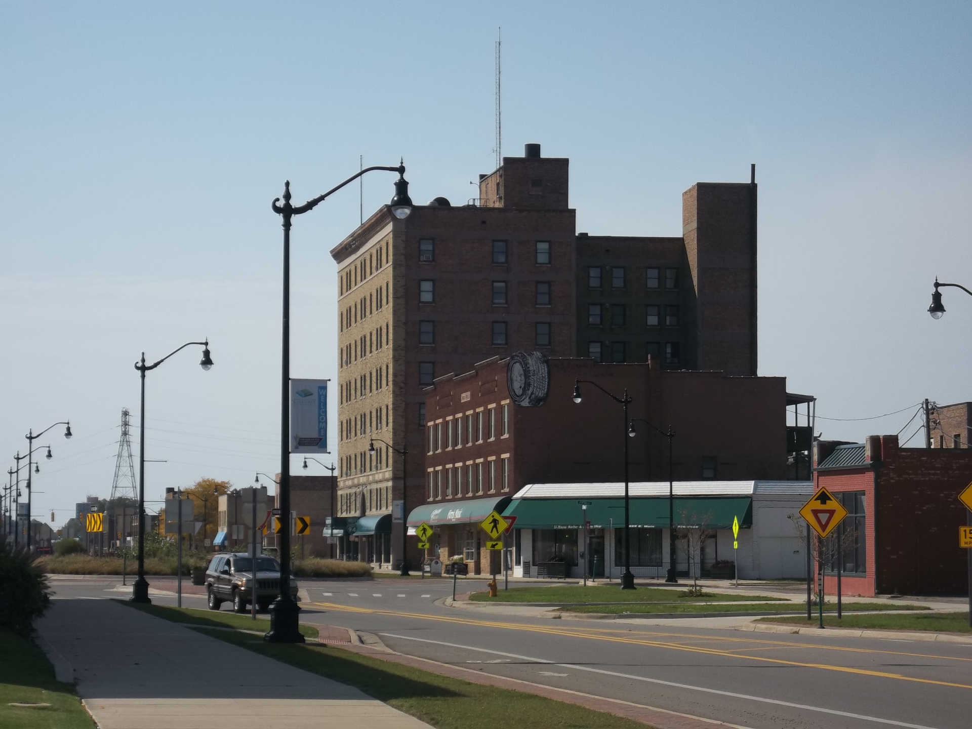
2. Benton Harbor, Michigan
 |
| Photo: Wikipedia |
Violent crimes per 100k people: 3,192.6
> Number of violent crimes: 310 — 6th highest of 3,606 towns
> Murders reported in 2020: 2 — 142nd highest of 3,606 towns (tied)
> Poverty rate: 45.4% — 17th highest of 3,606 towns
> Population within reporting jurisdiction: 9,710
Benton Harbor is a city in Berrien County in the U.S. state of Michigan. It is 46 miles southwest of Kalamazoo and 71 miles southwest of Grand Rapids. According to the 2010 census, its population was 10,038. It is the smaller, by population, of the two principal cities in the Niles–Benton Harbor Metropolitan Statistical Area, an area with 156,813 people. Benton Harbor and the city of St. Joseph are separated by the St. Joseph River and are known locally as the "Twin Cities". Fairplain and Benton Heights are unincorporated areas adjacent to Benton Harbor.
Benton Harbor was founded by Henry C. Morton, Sterne Brunson and Charles Hull, who all now have or have had schools named after them.[8] Benton Harbor was mainly swampland bordered by the Paw Paw River, through which a canal was built, hence the "harbor" in the city's name.[9] In 1860, the village was laid out by Brunson, Morton, Hull and others, and given the name Brunson Harbor.
Brunson, Morton, and Hull also donated land and solicited subscriptions for construction of the canal, which was completed in 1862. It had long been recognized that a canal would be crucial to the town's development, both to drain the marsh and to provide a berthing area for ships. The canal, originally 25 feet (7.6 m) wide but expanded to 50 feet (15 m) in 1868, led to the town's becoming a shipping and manufacturing center for the area.
In 1866, the settlement's name was changed to Benton Harbor in honor of Thomas Hart Benton, a Missouri Senator who helped Michigan achieve statehood. In 1836, Benton Harbor was organized as a village and in 1891 it was incorporated as a city.
The House of David religious group was founded there and once ran a local amusement park.
Read More: Top 10 Most Violent Cities In The US (Update)
3. Osceola, Arkansas
 |
| Photo: Wikipedia |
Violent crimes per 100k people: 2,987.6
> Number of violent crimes: 195 — 33rd highest of 3,606 towns
> Murders reported in 2020: 2 — 142nd highest of 3,606 towns (tied)
> Poverty rate: 27.5% — 337th highest of 3,606 towns
> Population within reporting jurisdiction: 6,527
Osceola is a city in, and a dual county seat of, Mississippi County, Arkansas, United States. Located along the Mississippi River within the Arkansas delta, the settlement was founded in 1837 and incorporated in 1853. Occupying an important location on the river, the city's economy grew as steamboat traffic increased. Timber and cotton harvesting would develop, and the city experienced rapid growth and development throughout the early 20th century. The city's economy has since diversified to include a robust industrial sector. The population was 6,576 at the 2020 census.
Osceola is the county seat of Mississippi County, and is also the seat of one of two judicial districts. Blytheville was named a secondary judicial district in 1901.
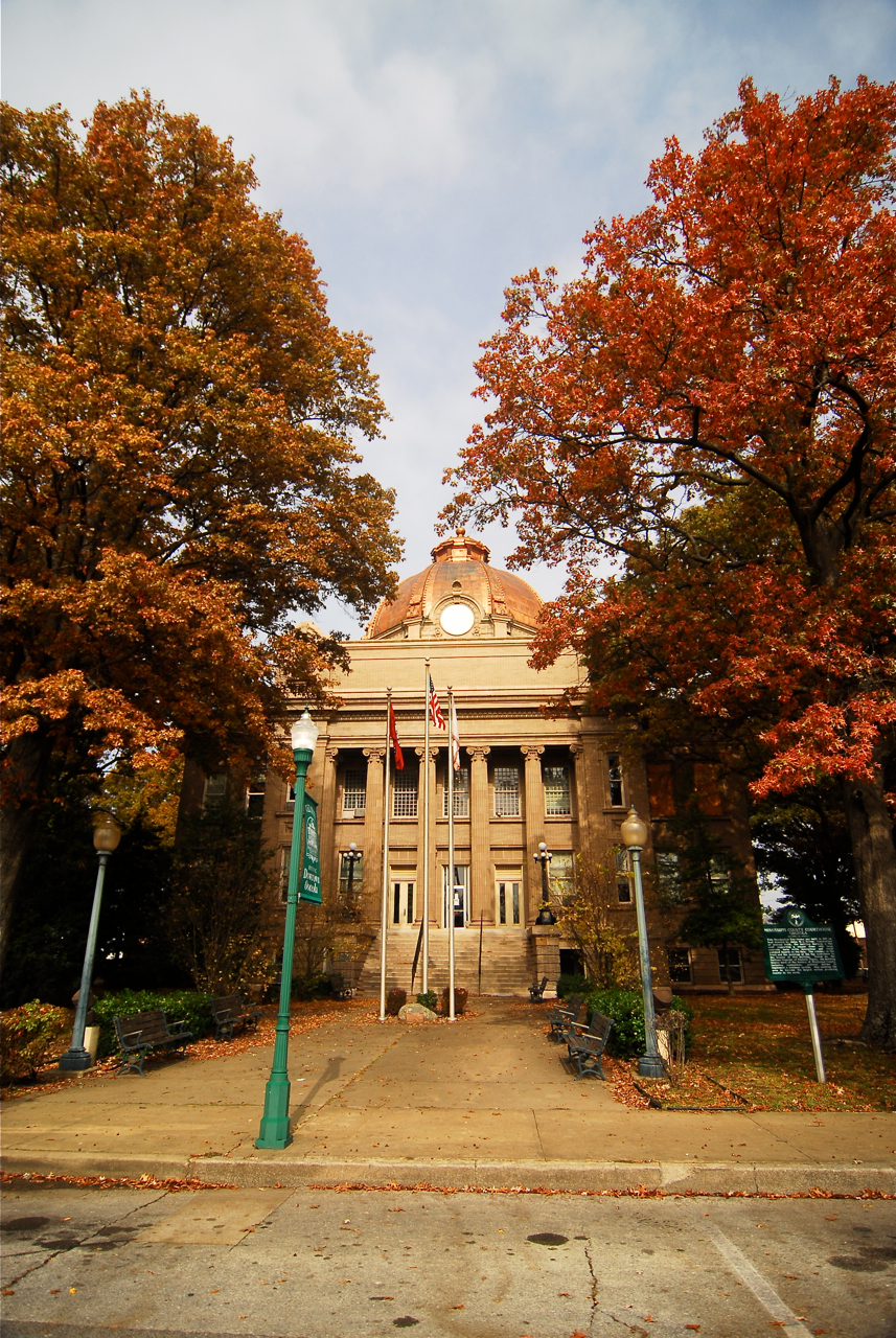
Anchoring the town square is the 1912 neoclassical Mississippi County Courthouse, which a copper roofed dome. The courthouse is bordered by the Hale Avenue Historic District and other structures on the National Historic Register of Historic Places. Visitors will also find the Mississippi County Historical Center located in a 1904 building that once housed a dry goods store.
Osceola is famous for its role in the development of blues music, and many famous blues musicians either came from Osceola or performed there. To celebrate this heritage, Main Street Osceola has been hosting the Osceola Heritage Festival since 1998.
4. Florida City, Florida
 |
| Photo: Shutterstock |
> Violent crimes per 100k people: 2,908.8
> Number of violent crimes: 344 — 4th highest of 3,606 towns
> Murders reported in 2020: 3 — 72nd highest of 3,606 towns (tied)
> Poverty rate: 40.0% — 46th highest of 3,606 towns
> Population within reporting jurisdiction: 11,826
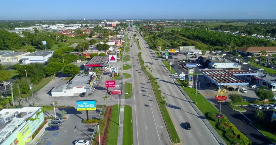
Florida City is a city in Miami-Dade County, Florida, United States and is the southernmost municipality in the South Florida metropolitan area. Florida City is primarily a Miami suburb and a major agricultural area.
The city lies to the south and west of, and is contiguous with, Homestead. Both cities suffered catastrophic damage in August 1992 when Hurricane Andrew struck South Florida.
The city originated as a land promotion named Detroit. There were no buildings in the area when the first thirty families arrived in 1910, and they had to stay in Homestead until their houses could be built. The name was changed to Florida City when the town incorporated in 1914. It has a small historic area, but much of the city is hotels and other tourist facilities.
The city is at the eastern end of the only road running through the Everglades National Park, which terminates at Flamingo. Florida City is the southernmost city in the United States which is not on an island. It is also the last stop on the mainland north of the Florida Keys. The southern terminus of the Homestead Extension of Florida's Turnpike where it ends at its junction with U.S. 1 is located in Florida City. Homestead is immediately north and east of Florida City, and these two cities comprise the greater Homestead-Florida City area. Some of the notable unincorporated communities in the area are Redland, Leisure City, Naranja, and Princeton.
5. West Memphis, Arkansas
 |
| Photo: Wikipedia |
> Violent crimes per 100k people: 2,507.7
> Number of violent crimes: 607 — the highest of 3,606 towns
> Murders reported in 2020: 7 — 15th highest of 3,606 towns (tied)
> Poverty rate: 26.3% — 403rd highest of 3,606 towns
> Population within reporting jurisdiction: 24,205
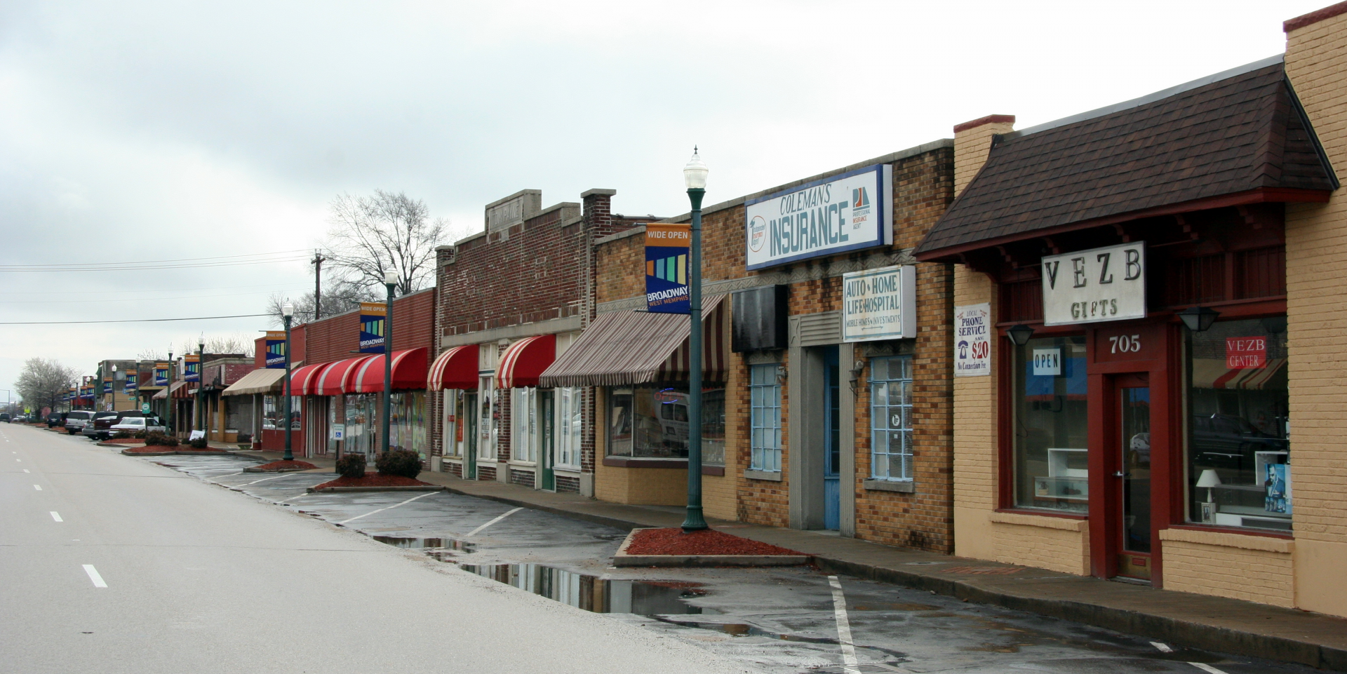
West Memphis occupies an area on the west bank of the Mississippi River that once included the towns of Hopefield, Bragg and Hulbert. The name "West Memphis" came into use in the early 1900s because lumber shipped from the Memphis market to foreign buyers brought higher prices. With the coming of the first rail bridge in 1892 and the first automobile bridge in 1917, West Memphis began to grow. The Memphis-Arkansas automobile bridge opened in 1949 and the I-40 (DeSoto) Bridge was dedicated in 1972.
Southland Gaming and Racing has been a major West Memphis attraction since 1956. Open the year around, the schedule includes live greyhound racing, plus simulcast dog and horse racing. Mid-South Community College serves the region. An Arkansas Welcome Center is located just west of town (I-40).
West Memphis is located along historic trails such as the Butterfield Overland Mail Route from Memphis to Fort Smith (a mail route established in 1858) and the historic relocation movement of the southeastern Indian tribes during the Trail of Tears. These passages, along with other historically significant routes, are now part of the Arkansas Heritage Trails System.
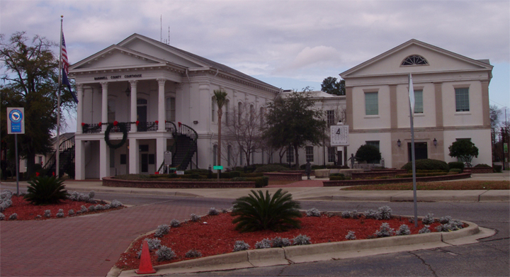
6. Barnwell, South Carolina
 |
| Photo: Calorlana |
> Violent crimes per 100k people: 2,405.1
> Number of violent crimes: 102 — 155th highest of 3,606 towns (tied)
> Murders reported in 2020: 2 — 142nd highest of 3,606 towns (tied)
> Poverty rate: 37.5% — 72nd highest of 3,606 towns
> Population within reporting jurisdiction: 4,241
Barnwell is a city in and county seat of Barnwell County, South Carolina, United States, located along U.S. Route 278. The population was 4,750 at the 2010 census.
In 1785 the district of Winton County was formed from a portion of the Orangeburg District in order to create another judicial circuit. It was given its current name in 1798 when the county and its seat were named for Revolutionary War leader John Barnwell (1748–1800), who headed a militia in South Carolina. Barnwell County originally stretched from the Savannah River on the west almost to the Atlantic Ocean.
Built in 1832, the South Carolina Railroad connected Charleston to Hamburg, near Augusta, Georgia, upriver on the Savannah River. The designation of two stops on the railroad led to the development of the towns of Blackville and Williston in the mid-nineteenth century.
Read More: Top 10 Most Dangerous Cities In The United States
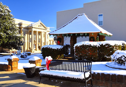
7. Wadesboro, North Carolina
 |
| Photo: www.townofwadesboro.org |
> Violent crimes per 100k people: 2,375.0
> Number of violent crimes: 124 — 105th highest of 3,606 towns (tied)
> Murders reported in 2020: 3 — 72nd highest of 3,606 towns (tied)
> Poverty rate: 32.3% — 145th highest of 3,606 towns
> Population within reporting jurisdiction: 5,221
Wadesboro is a town in Anson County, North Carolina, United States. The population was 5,813 at the 2010 census. The town was originally found in 1783 as New Town but changed by the North Carolina General Assembly to Wadesboro in 1787 to honor Colonel Thomas Wade, a native son, state legislator, and Revolutionary War commander of the Anson County Regiment. It is the county seat of Anson County.
Originally named Newtown, the town was renamed by the North Carolina General Assembly in 1787 to honor of Colonel Thomas Wade after his service with the Anson County Regiment of militia in the American Revolutionary War.
In 1900, scientists determined that Wadesboro would be the best location in North America for viewing an expected total solar eclipse. The Smithsonian Astrophysical Observatory, then based in Washington, D.C., loaded several railroad cars with scientific equipment and headed to the town.
The Boggan-Hammond House and Alexander Little Wing, United States Post Office, and Wadesboro Downtown Historic District are listed on the National Register of Historic Places.
In the town, the population was spread out, with 24.6% under the age of 18, 8.6% from 18 to 24, 23.1% from 25 to 44, 24.8% from 45 to 64, and 19.0% who were 65 years of age or older. The median age was 39.8 years. For every 100 females there were 81.9 males. For every 100 females age 18 and over, there were 76.5 males.
For the period 2007–11, the estimated median annual income for a household in the town was $32,550, and the median income for a family was $34,522. Male full-time workers had a median income of $38,385 versus $29,297 for females. The per capita income for the town was $17,055. About 19.0% of families and 22.8% of the population were below the poverty line, including 39.1% of those under age 18 and 11.1% of those age 65 or over.
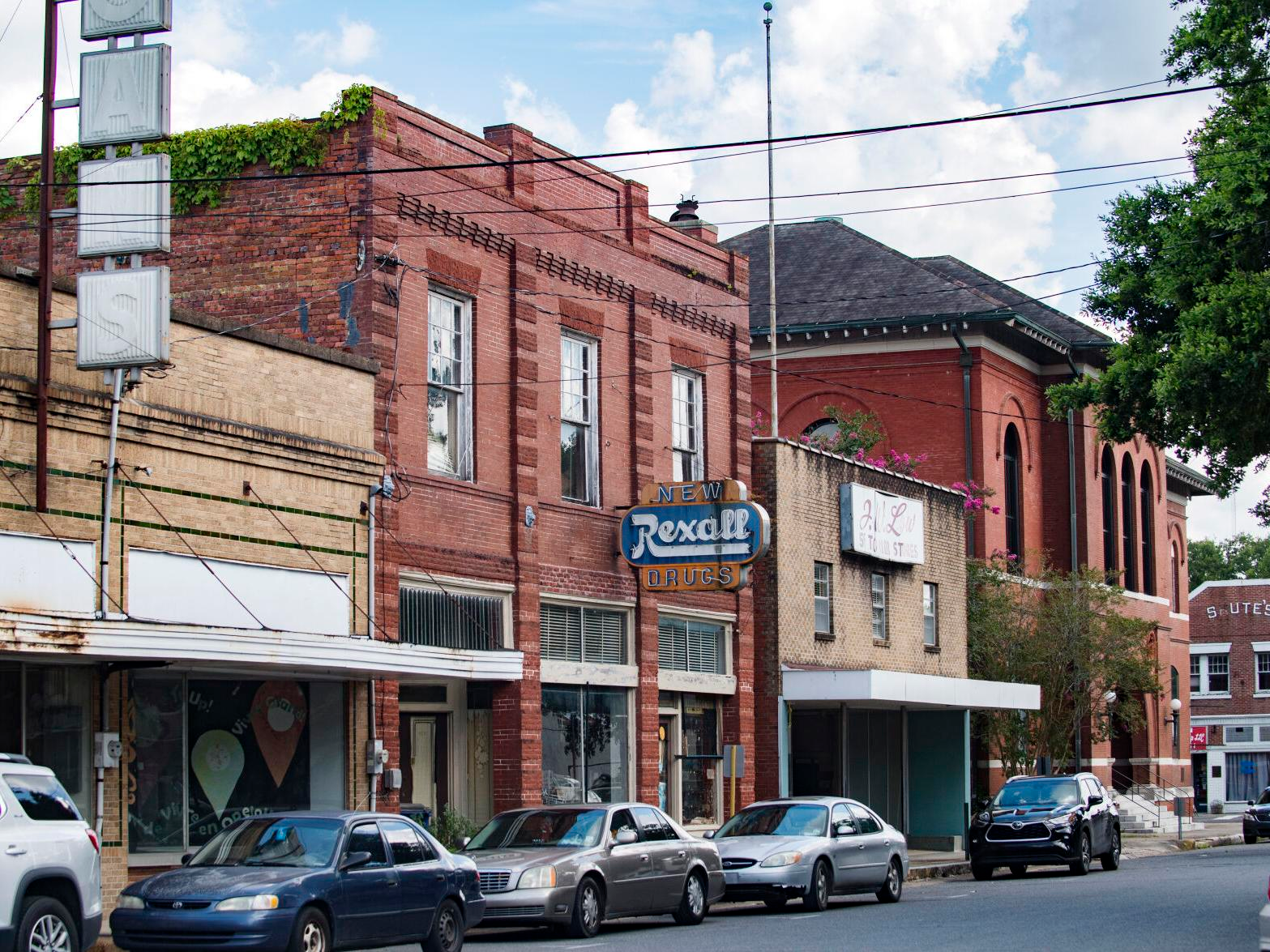
8. Opelousas, Louisiana
 |
| Photo: The Advocate |
> Violent crimes per 100k people: 2,370.4
> Number of violent crimes: 375 — 3rd highest of 3,606 towns
> Murders reported in 2020: 9 — 11th highest of 3,606 towns (tied)
> Poverty rate: 43.3% — 26th highest of 3,606 towns
> Population within reporting jurisdiction: 15,820
Opelousas, city, seat (1805) of St. Landry parish, south-central Louisiana, U.S. It lies on the Gulf Coastal Plain, 20 miles (32 km) north of Lafayette. Founded in 1720 as a French garrison and trading post and named for the Opelousas Indians, it became a sanctuary for Acadians exiled from Nova Scotia. The site of the State Supreme Court until 1898, it was incorporated as a town in 1821 and was the temporary Confederate capital of Louisiana during the American Civil War.
Its economy depends largely on cotton and cattle, though it has been augmented by the area’s petroleum and natural gas reserves (discovered in 1927 at nearby Port Barre). The city is associated with sweet potatoes and holds a “Yambilee” (yam festival) each October. Opelousas is also the birthplace of zydeco-music pioneer Clifton Chenier. Its Jim Bowie Museum displays Bowie mementos and French and Acadian relics. Nearby, on Lake Chicat, is the Louisiana State Arboretum, containing various plant species endemic to Louisiana. Inc. city, 1898. Pop. (2000) 22,860; (2010) 16,634.
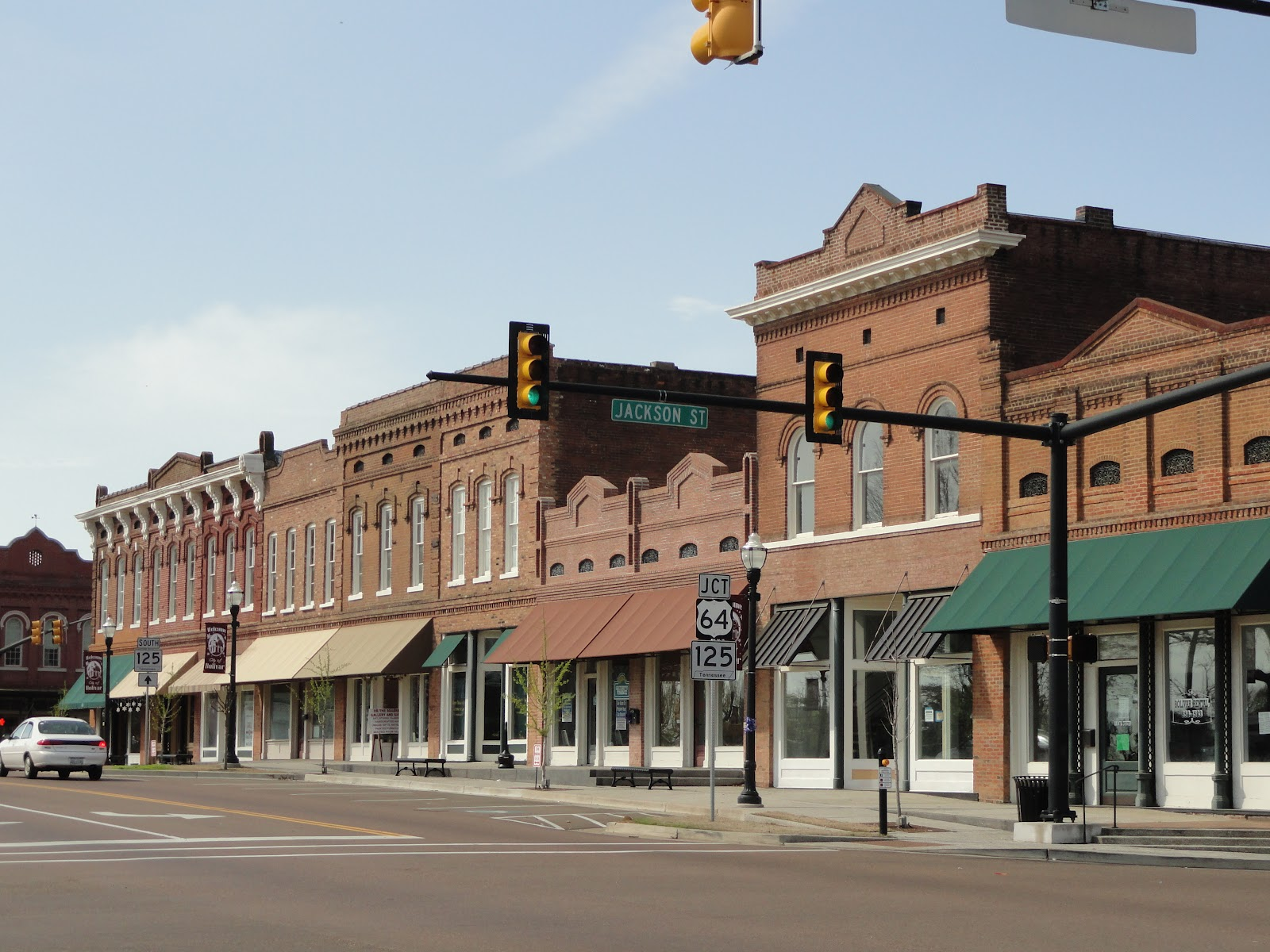
9. Bolivar, Tennessee
 |
| Photo: Tours by Josh Whitehead |
> Violent crimes per 100k people: 2,248.6
> Number of violent crimes: 110 — 135th highest of 3,606 towns (tied)
> Murders reported in 2020: 2 — 142nd highest of 3,606 towns (tied)
> Poverty rate: 27.9% — 314th highest of 3,606 towns
> Population within reporting jurisdiction: 4,892
Bolivar is a city in Hardeman County, Tennessee, United States. As of the 2010 census, the city population was 5,417. It is the county seat of Hardeman County. The town was named for South American revolutionary leader Simón Bolívar. Bolivar is served by William L. Whitehurst Field (airport).
There were 2,161 households, out of which 31.4% had children under the age of 18 living with them, 39.0% were married couples living together, 24.9% had a female householder with no husband present, and 32.3% were non-families. 30.0% of all households were made up of individuals, and 14.5% had someone living alone who was 65 years of age or older. The average household size was 2.45 and the average family size was 3.03.
In the city, the population was spread out, with 26.7% under the age of 18, 9.0% from 18 to 24, 25.6% from 25 to 44, 21.5% from 45 to 64, and 17.3% who were 65 years of age or older. The median age was 37 years. For every 100 females, there were 83.0 males. For every 100 females age 18 and over, there were 75.1 males.
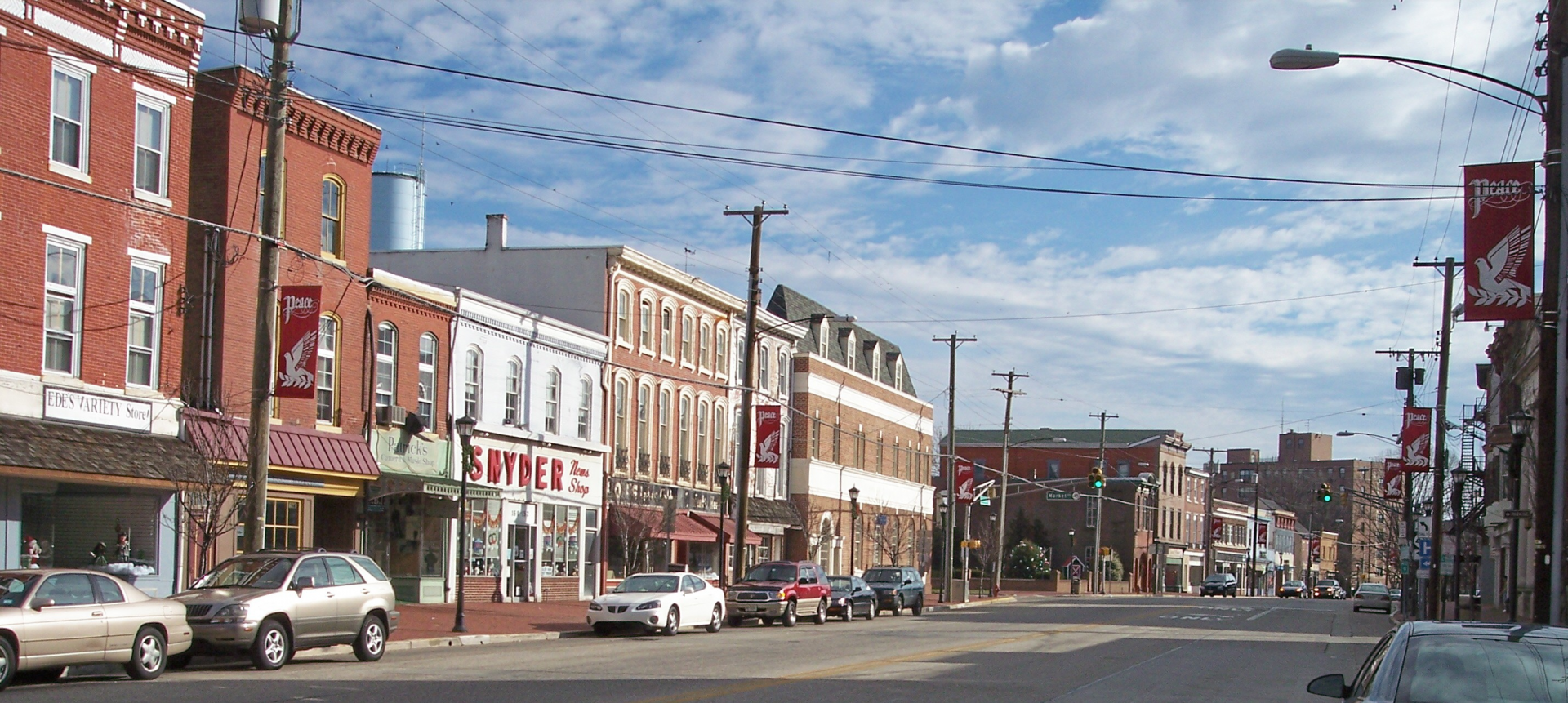
10. Salem, New Jersey
 |
| Photo: Wikipedia |
> Violent crimes per 100k people: 2,059.6
> Number of violent crimes: 96 — 174th highest of 3,606 towns (tied)
> Murders reported in 2020: 11 — 6th highest of 3,606 towns (tied)
> Poverty rate: 42.2% — 32nd highest of 3,606 towns
> Population within reporting jurisdiction: 4,661
Salem is a city in Salem County, in the U.S. state of New Jersey. As of the 2010 United States Census, the city's population was 5,146, reflecting a decrease of 711 (−12.1%) from the 5,857 counted in the 2000 Census, which had in turn declined by 1,026 (−14.9%) from the 6,883 counted in the 1990 Census, an overall drop of more than 25% over the two decades. It is the county seat of Salem County, the state's most rural county. The name "Salem", in both the city and county, is derived from the Hebrew word shalom, meaning "peace".
Salem, city, seat (1694) of Salem county, southwestern New Jersey, U.S. It lies along the Salem River near the latter’s confluence with the Delaware River, 34 miles (55 km) southwest of Philadelphia, Pennsylvania. It was established in 1675 by John Fenwick, an English Quaker. The Friends (Quakers) Burial Ground in Salem has the Salem Oak—a tree 80 feet (25 metres) high that is said to be more than 500 years old—under which Fenwick signed a treaty with the Delaware Indians. The Alexander Grant House (1721) is now the headquarters of the Salem County Historical Society. Fort Mott State Park, site of an American Civil War fortification, and Finns Point National Cemetery, containing the graves of more than 2,400 Confederate prisoners and 300 Union soldiers, are immediately northwest, fronting the Delaware River. Salem’s industries include the manufacture of glass containers, floor coverings, canned goods, and clothing. Inc. village, 1695; city, 1858. Pop. (2000) 5,857; (2010) 5,146.
 Top 10 Most Dangerous Roads In The US Top 10 Most Dangerous Roads In The US Take a look at the top ten most dangerous roads in America, based on the number of recorded crashes. |
 Top 10 Most Dangerous Countries For Women Top 10 Most Dangerous Countries For Women Sadly, not every country around the world is safe for women. Check out the 10 most dangerous countries for females right below to know more! |
 15 Most Dangerous Prisons In The World 15 Most Dangerous Prisons In The World Prison is the last place everyone ever wish to go in, and most prisons are notorious for its violence and brutality. |


