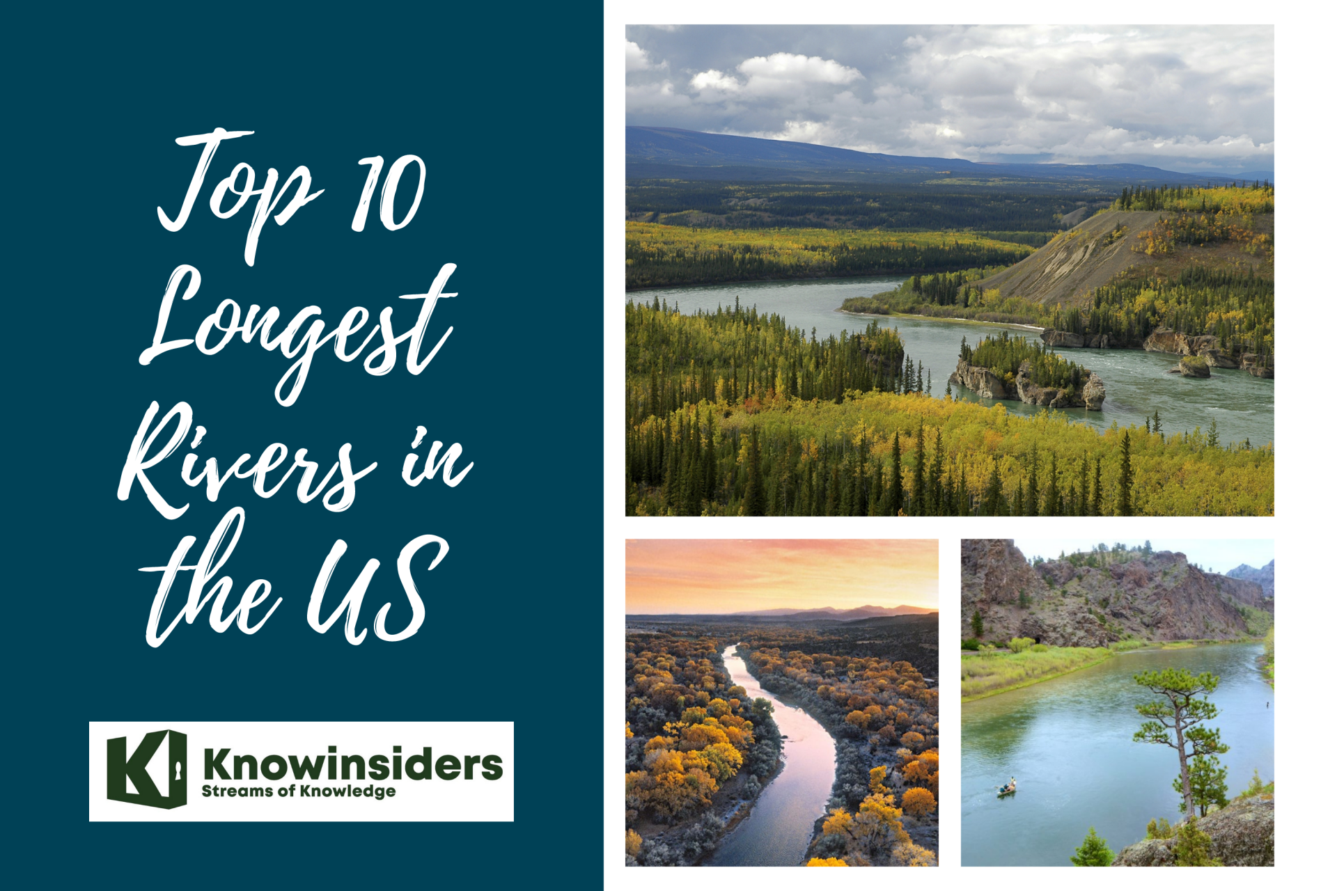
10 Longest and Most Beautiful Rivers in Texas
 |
| Rivers of Texas. Photo: KnowInsiders |
The US state of Texas is located in the south-central region of the country. It is generally recognized for its hot and arid climate, although Texas is also home to a number of waterways. Several of the rivers found here are over 500 miles in length and provide an important source of drinking water. This article takes a closer look at the 10 longest rivers in Texas.
The List of 10 Longest and Most Beautiful Rivers Of Texas
1. Rio Grande
2. Red River Of The South
3. Brazos River
4. Pecos River
5. Colorado River
6. Canadian River
7. Trinity River
8. Sabine River
9. Neches River
10. Nueces River
***
Which are the 10 Longest and Most Beautiful Rivers Of Texas?
1. Rio Grande
 |
| Photo: The Denver Post |
The longest river in Texas is the Rio Grande, which runs for a total of 1,896 miles. It begins in the southern region of the state of Colorado and makes its way southeast until it empties into the Gulf of Mexico. Once in the southern part of Texas, the Rio Grande creates the border between the US and Mexico, near the Texas town of El Paso. Although this river cannot be navigated by large boats, it does provide a significant supply of water to several agricultural regions. In fact, some research suggests that due to agricultural use and man-made dams, only one-fifth of the original quantity of water now feeds into the Gulf of Mexico.
2. Red River Of The South
 |
| Photo: Manitoba Historical Society |
The Sabine River is formed by three forks rising in Collin and Hunt counties. From its sources to its mouth on Sabine Lake, it flows approximately 360 miles and drains 7,570 square miles.
Sabine comes from the Spanish word for cypress, as does the name of the Sabinal River, which flows into the Frio River in Southwest Texas. The Sabine has an average annual flow volume of 5.86 million acre-feet, the second-largest in the state after the Brazos.
Throughout most of Texas history, the lower Sabine has been the eastern Texas boundary line, though for a while there was doubt as to whether the Sabine or the Arroyo Hondo, east of the Sabine in Louisiana, was the boundary. For a number of years, the outlaw-infested neutral ground lay between them. There was also a boundary dispute in which it was alleged that the Neches was really the Sabine and, therefore, the boundary.
Travelers over the part of the Camino Real known as the Old San Antonio Road crossed the Sabine at the Gaines Ferry in Sabine County, and there were crossings for the Atascosito Road and other travel and trade routes of that day.
Two of Texas’ largest reservoirs have been created by dams on the Sabine River. The first of these is Lake Tawakoni, in Hunt, Rains, and Van Zandt counties, with a storage capacity of 888,126 acre-feet.
Toledo Bend Reservoir impounds 4.47 million acre-feet of water on the Sabine in Newton, Panola, Sabine, and Shelby counties. It is the largest lake lying wholly or partly in Texas and the 9th-largest reservoir (in capacity by volume) in the United States. This is a joint project of Texas and Louisiana, through the Sabine River Authority.
3. Brazos River
 |
| Photo: - Wikimedia Commons |
Located near Caddo, Texas, the Brazos River is a great spot to tube, kayak or canoe. Since this river is quite a drive from Texas’ big metropolitans, like Dallas and Austin, the river isn’t as crowded as other rivers on this list. When it comes to tubing, most floaters enter the water near Possum Kingdom State Park, which just so happens to be a great spot to camp too. Fed by Lake Granbury, the Brazos River varies from slow floats to quicker currents depending on the weather. Mid-summer is the best time to experience a float on the Brazos, since water levels tend to run low near summer’s end.
 Top 10 Longest and Beautiful Rivers in Florida Top 10 Longest and Beautiful Rivers in Florida There are plenty of rivers and streams within the US state of Florida with various drainage basins. Check out now the 10 longest and beautiful ... |
4. Pecos River
 |
| Photo: Adventure On Outdoors |
The Pecos River is the fourth longest river in Texas, flowing over a course of 926 miles. This river begins in the Sangre de Cristo mountains located in New Mexico and eventually feeds into the previously mentioned Rio Grande. Along its length, 20.5 miles have been protected as a National Wild and Scenic River. Of this area, 7 miles have been reserved for recreational use. In order to take advantage of its water, a number of dams have been built along this river, including the Red Bluff, Sumner, Brantley, and Avalon. The Pecos River drainage basin consists of an area of 44,300 square miles and includes several lakes and reservoirs.
5. Colorado River
 |
| Photo: EcoWatch |
At over 800 miles long, the Texas Colorado River is one of the longest rivers to start and end in the same state. (Note that it is NOT the same Colorado River that flows through Arizona, Utah, and other western states.) Because of its importance to our state’s economy, our environment, our industry, our agriculture, and especially our lives as Texans, it is truly the lifeblood of our state. Its headwaters begin in northwest Texas, and the river flows southeast, supporting many different communities and ecosystems and eventually emptying into the Gulf of Mexico at Matagorda Bay. Along the way, its reservoirs form the Highland Lakes, and it flows through downtown Austin, the fastest-growing metropolitan area in the country.
| The river’s watershed The Concho, San Saba, Llano, James, and Pedernales Rivers all empty into the Colorado, so their watersheds are considered part of the Colorado River’s watershed, too. Altogether, there are over 7,500 miles of creeks, streams, and rivers in our basin, and well over 2 million people live and work here. The Colorado’s watershed includes several major metropolitan areas, including Midland-Odessa, San Angelo, and Austin, and there are hundreds of smaller towns and communities as well. Many communities, like Austin, rely on the Colorado River for 100% of their municipal water. |
6. Canadian River
 |
| Photo: National Park Service |
The Canadian River, despite its name, does not flow through Canada. Instead, this 906-mile long river flows from Colorado into New Mexico, Texas, Oklahoma, and into the Arkansas River. It is the sixth longest river to run through Texas. The Canadian River has a total drainage area of around 47,700 square miles. This area includes a number of waterways, like the Conchas Lake and Robert S. Kerr Reservoir.
7. Trinity River
 |
| Photo: Pinterest |
The Trinity River is the closest tubing destination for Dallas residents. Every summer, the Trinity River Vision Authority hosts tubing events, and in June, the Rockin’ the River concert series begins where tubers can actually enjoy live music while floating the river. The Trinity River is truly Texan, since it’s the only river that flows entirely within the borders of the Lone Star State.
 Top 10 Longest Rivers in the United States Top 10 Longest Rivers in the United States The US has an abundance of rivers that are not only long but also with beautiful sceneries. Check out the 10 longest rivers in the ... |
8. Sabine River
 |
| Photo: Pinterest |
The Sabine River is formed by three forks rising in Collin and Hunt counties. From its sources to its mouth on Sabine Lake, it flows approximately 360 miles and drains 7,570 square miles.
Sabine comes from the Spanish word for cypress, as does the name of the Sabinal River, which flows into the Frio River in Southwest Texas. The Sabine has an average annual flow volume of 5.86 million acre-feet, the second-largest in the state after the Brazos.
Throughout most of Texas history, the lower Sabine has been the eastern Texas boundary line, though for a while there was doubt as to whether the Sabine or the Arroyo Hondo, east of the Sabine in Louisiana, was the boundary. For a number of years, the outlaw-infested neutral ground lay between them. There was also a boundary dispute in which it was alleged that the Neches was really the Sabine and, therefore, the boundary.
Travelers over the part of the Camino Real known as the Old San Antonio Road crossed the Sabine at the Gaines Ferry in Sabine County, and there were crossings for the Atascosito Road and other travel and trade routes of that day.
Two of Texas’ largest reservoirs have been created by dams on the Sabine River. The first of these is Lake Tawakoni, in Hunt, Rains, and Van Zandt counties, with a storage capacity of 888,126 acre-feet.
Toledo Bend Reservoir impounds 4.47 million acre-feet of water on the Sabine in Newton, Panola, Sabine, and Shelby counties. It is the largest lake lying wholly or partly in Texas and the 9th-largest reservoir (in capacity by volume) in the United States. This is a joint project of Texas and Louisiana, through the Sabine River Authority.
9. Neches River
 |
| Photo: Texas Water Resources Institute |
The Neches rises in Van Zandt County in East Texas and flows 416 miles to Sabine Lake near Port Arthur. It has a drainage area of 9,937 square miles. Abundant rainfall over its entire basin gives it an average annual flow near the Gulf of about 4.3 million acre-feet a year.
The river takes its name from the Neches Indians, who the early Spanish explorers found living along its banks. Principal tributary of the Neches, and comparable with the Neches in length and flow above their confluence, is the Angelina River, so named for Angelina (Little Angel), a Hainai Indian girl who converted to Christianity and played an important role in the early development of this region.
Both the Neches and the Angelina run most of their courses in the Piney Woods, and there was much settlement along them as early as the 1820s.
Sam Rayburn Reservoir, near Jasper on the Angelina River, was completed and dedicated in 1965. It has a storage capacity of 2.87 million acre-feet. Reservoirs located on the Neches River include Lake Palestine in the upper basin and B. A. Steinhagen Lake located at the junction of the Neches and the Angelina rivers.
10. Nueces River
 |
| Photo: YouTube |
The final river on this list is the Nueces River, which runs for around 315 miles through Texas. It originates in the Edwards Plateau region of this state and flows in a southeastern direction until it drains into the Gulf of Mexico. Before flowing into this gulf, it feeds into Lake Corpus Christi, a reservoir. Tributaries of this river include two rivers: the Frio River and the Atascosa River. Through some areas of Texas, the Nueces River has a relatively low water flow.
For more interesting news of KnowInsiders, check out right below!
 Top 10 Longest and Beautiful Rivers in Asia Top 10 Longest and Beautiful Rivers in Asia Since ancient times, rivers have played a crucial role in the development of human society. Asian rivers are very beautiful; they have an amazing reflection ... |
| Top 10 Longest and Beautiful Rivers in Florida There are plenty of rivers and streams within the US state of Florida with various drainage basins. Check out now the 10 longest and beautiful ... |
 Top 10 Longest Rivers in Australia Top 10 Longest Rivers in Australia Although Australia may not be known for its rivers, it’s home to some significant ones. Check out right below the 10 longest rivers in Australia ... |