Why Google Maps Fails in Greenland and How Locals Navigate Without Roads
 |
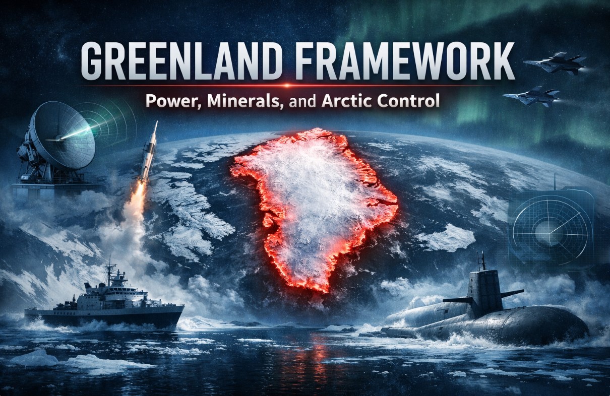
| Greenland is the biggest island in the world, and lays between the north of the Atlantic Ocean and the Arctic Ocean |
When Americans travel, Google Maps is muscle memory. You land, open your phone, and trust the blue line. In Greenland, that instinct can quietly fail you.
Not because the technology is broken, but because Greenland doesn’t work the way maps expect it to.
The problem isn’t bad data. It’s the wrong assumptions.
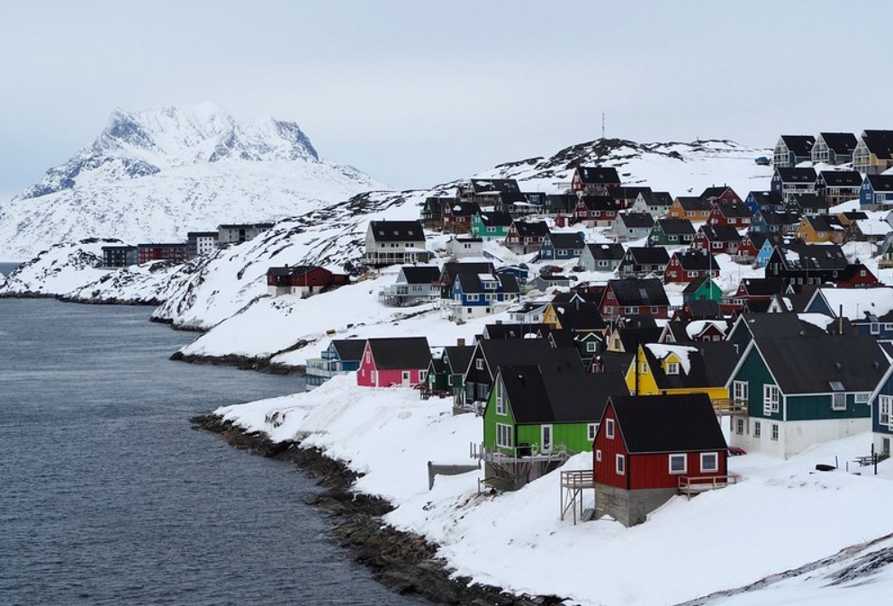
Google Maps is designed for places with roads, addresses, and predictable infrastructure. Greenland has very little of that. Outside a few urban areas, there is no road network connecting towns. You can’t “drive” from Nuuk to Ilulissat. No amount of zooming will reveal a hidden highway.
To an American traveler, this creates the illusion that places are close and reachable when they are not. On a map, two towns might look an hour apart. In reality, they may require a flight, a boat, or days of waiting for weather to cooperate.
Google Maps doesn’t lie maliciously. It lies by omission.
Addresses don’t work the way you expect
In most U.S. cities, an address gets you to a door. In Greenland, many places don’t use street numbers in a meaningful way. Buildings are often identified by color, position, or function rather than by a precise address.
Ask a local where something is, and you’re more likely to hear:
“Behind the red building near the harbor,” not “Turn right in 200 feet.”
Google Maps can show you a pin. It cannot tell you which unmarked path is safe in winter, or which shortcut disappears when snow drifts in overnight.
Read more:
- Where Is Greenland? How to Get Greenland from The USA
- From Greenland to ‘Red, White, and Blueland’ – America’s Wildest Land Grab Yet?
- Where is Greenland: Why Trump’s renewed interest
Roads exist, but they don’t connect anything
Yes, towns have roads. But they are internal. Each town is its own island of asphalt, surrounded by mountains, ice, or water.
For visitors, this leads to a common mistake: assuming that if roads exist in multiple towns, they must connect somewhere. They don’t.
Navigation apps quietly reinforce this misunderstanding by showing roads without explaining their isolation. The result is false confidence.
Weather changes the map in real time
In Greenland, navigation is inseparable from weather. A route that works today may be unsafe tomorrow. Sea ice forms and breaks. Snow covers landmarks. Wind cancels boats and grounds helicopters.
Google Maps shows terrain. Locals read conditions.
This is why people here still rely heavily on radio, local forecasts, and community knowledge. A map can’t tell you when the fjord is passable or when the wind makes a crossing dangerous.
How locals actually navigate
Instead of turn-by-turn directions, navigation in Greenland is relational.
People orient themselves using:
-
Coastlines rather than roads
-
Mountains as reference points
-
Seasonal travel routes by boat or snowmobile
-
Knowledge of wind, ice, and daylight
Travel between towns is planned around transport schedules and weather windows, not distance. A “short” trip might take days. A “long” trip might happen quickly if conditions align.
This mindset is hard to translate into an app interface.
Why this matters for American travelers
The danger isn’t getting lost in town. It’s overestimating control.
Americans are used to frictionless movement. In Greenland, movement is conditional. Trusting Google Maps too much can lead to poor planning: missed flights, stranded travelers, or unrealistic itineraries.
The smartest visitors treat digital maps as reference tools, not decision-makers.
Before traveling, ask different questions:
-
How do people actually get there?
-
What happens if the weather changes?
-
Is this distance meaningful, or just visual?
The quiet lesson Greenland teaches
Greenland exposes a blind spot in modern navigation. Maps make us think space is neutral and predictable. In reality, geography is lived, negotiated, and sometimes refused.
Locals don’t navigate by blue lines. They navigate by experience, patience, and respect for conditions that no app can flatten into directions.
If you adjust your expectations, Google Maps becomes useful again. Not as a guide, but as a sketch.
And in Greenland, a sketch is often the most honest map you’ll get.