U.S. Winter Storm Forecast Weekend (Jan 3–4, 2026): 4 Feet of Snow, 100 mph Winds Across Multiple State
 |
| Major U.S. Winter Storm Forecast — Heavy Snow and High Winds Across Multiple States (January 3–4, 2026) |
A powerfulwinter storm system is forecast to impact large portions of the United States over the weekend of January 3–4, 2026, bringing heavy snowfall, damaging winds, hazardous travel conditions, and widespread winter storm warnings. Meteorologists describe this as one of the most significant winter weather events so far this season, with impacts spanning from the Sierra Nevada to the Great Lakes.
According to the latest meteorological assessments, the storm is being driven by a strong Pacific system interacting with cold Arctic air, creating ideal conditions for extreme snowfall rates and powerful winds, particularly at higher elevations and downwind of the Great Lakes.
The National Weather Service (NWS) has issued winter storm warnings in at least four states, citing the potential for up to four feet of snow in some areas and wind gusts approaching 100 mph in exposed terrain.
Storm Overview
-
Timing: Saturday–Sunday, January 3–4, 2026
-
Primary Threats: Heavy snow, blowing and drifting snow, whiteout conditions, damaging winds
-
Most Affected Regions:
-
Sierra Nevada and higher elevations of California and Nevada
-
Great Lakes snow belts (especially downwind of Lake Erie and Lake Ontario)
-
Parts of the Midwest and interior Northeast
-
Meteorologists report this storm is driven by a strong Pacific system interacting with cold Arctic air, a setup known for producing high-impact winter weather.
Key Hazards
-
Snowfall: 1–3 feet common in mountain areas, locally up to 4 feet at the highest elevations
-
Wind: Sustained winds 30–50 mph; gusts up to 100 mph on ridgelines
-
Visibility: Near-zero visibility during peak snowfall and blowing snow
-
Travel: Roads may become impassable; chain controls and temporary closures likely
-
Infrastructure: Risk of power outages due to wind and heavy snow loading
Winter Storm Warnings by Region
Sierra Nevada & Lake Tahoe Region (California and Nevada)
-
Winter Storm Warnings remain in effect from Saturday through early Monday.
-
Snowfall totals are expected to reach 1 to 3 feet above 7,000 feet, with localized amounts up to 4–4.5 feet at the highest elevations.
-
Wind gusts on mountain ridges may exceed 100 mph, significantly reducing visibility and increasing the risk of whiteout conditions.
-
Travel through mountain passes may become very difficult or impossible, with chain controls and temporary road closures likely.
-
Power disruptions are possible due to falling trees and wind damage.
Northern California & Siskiyou Mountains
-
Heavy snow is expected above 5,000 feet, with 6–12 inches common and up to 24 inches on ridgelines.
-
Winds could gust to 60 mph, creating drifting snow and poor visibility.
Great Lakes and Upstate New York
-
Lake-effect snow bands are forecast to intensify across areas downwind of Lakes Erie and Ontario.
-
Snow accumulations of 1–3 feet are possible in the most persistent snowbelt locations.
-
Visibility may drop to near zero during the heaviest snow bands.
-
Road travel could become dangerous or temporarily impossible, especially on secondary highways and rural routes.
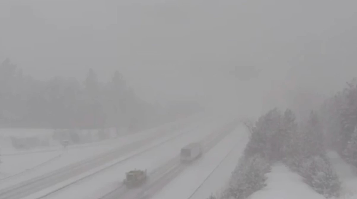
Midwest Impacts
-
Portions of the Midwest are experiencing a sharp transition to colder air, with snow showers, gusty winds, and icy road conditions.
-
Strong winds have already contributed to power outages in some areas, and additional disruptions remain possible as the storm progresses eastward.
-
Airports across the region may experience delays and cancellations due to snow and reduced visibility.
Wind and Blizzard Risk
Where heavy snow combines with sustained winds over 35 mph, blizzard-like conditions may develop. Even areas with moderate snowfall totals could face severe travel impacts due to blowing and drifting snow.
High-elevation and open terrain locations are particularly vulnerable to these dangerous conditions.
Travel & Safety Impacts
-
Road Travel: Avoid non-essential travel during peak storm periods, particularly overnight Saturday into Sunday.
-
Air Travel: Expect delays and cancellations at airports near the Great Lakes and mountain regions.
-
Preparedness Tips:
-
Keep emergency supplies in vehicles
-
Monitor local weather alerts and road conditions
-
Allow extra time for travel and consider postponing trips
-
Weekend Timeline
Saturday (January 3):
-
Storm strengthens across the West.
-
Peak snowfall and wind impacts in the Sierra Nevada and Lake Tahoe region.
-
Lake-effect snow begins to intensify in the Great Lakes region.
Sunday (January 4):
-
Heavy snow continues in the West and Great Lakes.
-
Cold air expands across the Midwest, sustaining hazardous travel conditions.
Early Monday (January 5):
-
Conditions gradually improve in the West.
-
Snow and wind impacts linger in northeastern snowbelt areas.
Outlook
Meteorologists expect the storm to gradually weaken as it moves east early next week. However, cold air is likely to persist, and additional winter weather systems remain possible later in January.
Residents in affected areas are urged to remain alert, follow official guidance, and prepare for rapidly changing winter conditions.
Sources
-
National Weather Service (official winter storm warnings and forecast discussions)
-
Regional NWS Forecast Offices (West Coast and Great Lakes)
-
Aggregated reporting from major U.S. weather and news organizations