Which Countries Border With The United States?

 |
| Which Countries Border With The United States? Photo worldatlas |
With a land border that stretches 7,593 miles, the United States borders Canada in the north and Mexico in the south. Also known as the International Border, the Canada-United States border is the world’s longest land border that is shared by two countries. In addition to its land border, the United States has a maritime border shared with Russia, Cuba, and the Bahamas.
The delineation of the United States’ borders was achieved through numerous treaties that the country signed over the course of its history.
What is international border?
Political boundaries can be classified in a number of ways, but the simplest is this: some boundaries divide countries, and some create divisions within a country. Both are important, but they are very different. Let's start with the borders between two countries. An international boundary delineates the space between sovereign states. Within its borders, a single government has complete authority, an authority that cannot be impeded by other governments.
So the border serves to represent the limit, the furthest extent, of space over which a government has sovereignty. The borders of the United States, for example, indicate the space that we can define as the country, or the space over which the U.S. federal government has absolute authority.
 |
| Photo Siue edu |
| By contrast, internal boundaries don't indicate spaces of absolute sovereignty. Internal boundaries are more bureaucratic and used to break up space into manageable units of administration. There are several examples of internal boundaries. Within the United States, for example, there are 50 states, each of which has its own borders. These internal boundaries mark the limits of each state government's authority, but the state does not have the same sovereignty as the country. The United States also divides people into congressional districts, each of which is represented by a member of the House of Representatives. State borders are pretty visible across the United States, but many people have no idea where the borders of their congressional district are. So, internal boundaries can look very different. |
The United States-Mexico Border
 |
| Photo BBC |
The border shared by the United States and Mexico is 1,954 miles in length, making it the second-longest international border in North America. The border spans from the Gulf of Mexico in the east to the Pacific Ocean in the west. A considerably long section of the border follows the Rio Grande River. A section of the border, at San Ysidro, San Diego, claims to be the world's busiest border crossing with around 14 million crossings every year.
The current border between the United States and Mexico is as a result of international agreements made in the 19th century between the United States, Mexico, and Spain. These agreements include the Gadsden Purchase, the Adams-Onis Treaty, and the Treaty of Limits.
| A Border of Crisis When President Joe Biden took office in January, there was an expectation that changes to policies on the southern border would help reverse the crisis there. But what resulted was a surge in arriving migrants, some believing that Biden's friendlier approach toward immigration compared to his predecessor, former President Donald Trump, would make the end result of the arduous process easier. In addition, hopes of reuniting families of children separated by Trump's controversial separation policy have also been slow-going and the issue of immigration generally has been a source of contention for the new administration. Illustrating the turmoil is a dramatic surge in unauthorized U.S. southern border crossings. There were 180,000 just last month, according to U.S. Customs and Border Protection -- a two-decade high and a 76% increase since February. During the Trump administration encounters with migrants were lower with monthly totals peaking at nearly 150,000, according to U.S. Customs and Border Protection data, overwhelming immigration authorities and leading to overcrowding at Border Patrol facilities. The Biden administration has handled the elevated volume through combination of efforts including the transformation of ICE detention facilities into rapid processing centers and the expansion of migrant child care facilities. |
Length of U.S.-Mexico Land and Water Boundary, by State
(in descending order in miles)
| State | Border Length (including along the Rio Grande) |
| Texas | 1,241.0 |
| Arizona (including 19.1 miles along the Colorado River) | 372.5 |
| New Mexico | 179.5 |
| California | 140.4 |
| Total | 1,933.4 |
Source: U.S. Geological Survey and CRS phone consultation with USGS library.
Note: The border area in the United States consists of four states.
READ MORE: ONLY in NEW MEXICO: 7 things you should know before visiting
The United States-Canada Border
 |
| Photo The Conversation |
The border between the United States and Canada is not only North America's longest international border but also the world’s longest border between two countries, spanning a total 5,525 miles in length. Manitoba, Alberta, Yukon, Ontario, New Brunswick, British Columbia, Quebec, and Saskatchewan are the eight provinces and territories in Canada found along the border. On the US side, Montana, Washington, Alaska, North Dakota, Minnesota, Pennsylvania, New York, Ohio, Maine, New Hampshire, Vermont, Michigan, and Idaho are the 13 American states that touch the border. Alaska’s border makes up a significant portion of the border, with a length of 1,538 miles, but the Canadian province of Ontario has the longest portion of any state, province or territory, accounting for 1,715 miles. The border was established in September 1783 as a result of the Treaty of Paris, signed in the aftermath of the American War of Independence, but the border took up its current delineation in April 1908 after the signing of the Treaty of 1908 between Great Britain and the United States.
For the most part, the border crosses remote regions with mountainous terrain and dense forests. Military presence along the border is minimal, making it the world’s longest undefended border. Security along the border has, however, heightened since the time of the September 2001 terrorist attacks. The biggest issue along the US-Canada border is an increase in drug, firearm and alcohol smuggling that has been witnessed in recent years. The busiest crossing along the border of the United States and Canada is the crossing at Detroit, Michigan in the United States and Windsor, Ontario in Canada.
Length of U.S.-Canada Land and Water Boundary by State
(in descending order in miles)
| State | Boundary Length |
| Alaska | 1,538 |
| Michigan | 721 |
| Maine | 611 |
| Minnesota | 547 |
| Montana | 545 |
| New York | 445 |
| Washington | 427 |
| North Dakota | 310 |
| Ohio | 146 |
| Vermont | 90 |
| New Hampshire | 58 |
| Idaho | 45 |
| Pennsylvania | 42 |
| Total | 5,525 |
READ MORE: 10 Breathtaking Natural Wonders of Canada Today
The United States-Russia Maritime Border
 |
| Photo am pherl |
The United States and Russia share a maritime border at the Bering Sea that is known as the Russia-United States Maritime Boundary. The need for the establishment of the maritime boundary arose after Alaska was sold to the United States by the Russian Empire. The border was delineated after the signing of the Baker-Shevardnadze agreement that resulted in the establishment of the Baker-Shevardnadze line along which the maritime boundary now follows. The agreement and international line were named after the American Secretary of State and Russian Foreign Minister who signed the treaty; James Baker and Eduard Shevardnadze. The maritime border doubles up as the world’s International Date Line. Some islands found on either side of the maritime border become interconnected in the winter after the freezing of the sea, making illegal cross-border movement possible. However, this is very rare.
The United States-Cuba Maritime Border
The United States and Cuba share a maritime border as Cuba is located near the state of Florida. Established in December 1977, the maritime border came into being after the signing of an international treaty between the two countries in a meeting held in Washington, D.C. Despite the fact that the countries have never ratified the treaty, both countries respect the outlined boundary line and hold meetings after every two years to revise the agreement.
U.S. Land Border Restrictions During the COVID-19 Pandemic
Despite changing public health situations in Canada and Mexico, the United States has not adapted the land border restrictions it first implemented in March of 2020. The country's commitment to maintaining a single set of restrictions for its shared borders with Canada and Mexico has inhibited progress towards reopening either and the lack of transparency by U.S. federal officials begs the question of whether they have a plan in place to do so.
 |
| Photo wilsoncenter |
This month, the United States will have restricted its land borders with Canada and Mexico for 18 months to slow the spread of COVID-19. The longest interruption of border crossing in U.S. history has separated communities, families, and reordered patterns of cross border shopping, business and leisure travel. With no end in sight, the cumulative economic and social cost of the border restrictions across North America is incalculable and may be permanent. The border restrictions are subject to review by the U.S. Department of Homeland Security (DHS) on a monthly basis, but these reviews have yet to yield any changes to border policy. Instead of adapting the existing policy regime to reflect the distinct economic, social, and public health situations in Canada and Mexico, the U.S. Government has elected to maintain a rigid set of restrictions that prohibits either border from reopening independently of the other.
The federally-mandated border closure has hurt businesses that rely on foreign travelers for revenue and frustrated policymakers that represent border communities. Over 241 million travelers entered the United States via points of entry along the U.S.-Canada and U.S.-Mexico borders in 2019. With land crossings now reduced to less than half of that volume, the weight of the restrictions is being felt in the border regions and reflected in national trade statistics.
To the North, over two-thirds of Canada’s population resides within 100 kilometers (62.13 miles) of the U.S.-Canada border; in pre-pandemic times, these individuals comprised a critical market for border communities. Canadians are the second-largest demographic of tourist travelers to the United States, behind only Mexican travelers. In 2019, Toronto was the fourth largest port of tourist entry into the United States, accounting for 4.7 million nonimmigrant admissions and beating all other points of land entry into the country. DHS restrictions crippled the volume of land travelers entering the United States: between 2019 and 2020, the number of Canadians tourists entering at U.S. land points of entry fell by almost 44 million.
Canada reopened its land border to vaccinated Americans on August 9th, allowing U.S. citizens to enter the country for nonessential purposes for the first time since restrictions were instated in March 2020. Throughout the pandemic, the Canadian Government has maintained that it is coordinating its border policy with the White House, a claim that led many to believe that the reopening of Canada’s border would be reciprocated by the Biden administration. However, shortly after Prime Minister Trudeau revealed his government’s plans to ease border restrictions, DHS announced that it would proceed with its monthly policy review as scheduled and declined to commit to a reopening date for the country’s northern border. In a July Wilson Center event, Canadian Ambassador Kirsten Hillman downplayed the policy disparity, stating that “coordination doesn’t mean [Canada and the United States] are going to do the same thing” and asserting that Canadian and U.S. policymakers have continually made separate decisions informed by their own data, experts, and domestic situations.
U.S. Coastline
The National Oceanic and Atmospheric Administration (NOAA) has surveyed the coastline of the continental United States, Alaska, and Hawaii several times. The current figures for the coastline are the results of the measurements done originally in 1915 and updated several times thereafter. These figures reflect the general outline of the seacoast. The figures for Alaska reflect a 1961 remeasurement.
It is important to note that boundary and coastline distances can differ significantly based on the scale used on the maps or charts. The Canadian and Mexican international borders are less problematic than the coastline measures because there are long stretches that are straight, such as the nearly 900-mile section of the U.S.-Canadian border along the 49th parallel.
Coastline measurements are more difficult because of the effects of tides and the necessarily arbitrary decisions that must be made about measuring bays, coves, islands, and inlets leading to streams and rivers. The "general coastline" data in this report are based on large scale nautical charts, resulting in a coastline measure for the 50 states totaling12,383 miles. Another measure using smaller scale nautical charts more than doubles this measurement to 29,093 miles, while the figures used by the NOAA in administering the Coastal Zone Management program (16 U.S.C. §1451) come to 88,612 miles (not including the Great Lakes).
This tableprovides figures for the areas of the U.S. coastline bordering international waters. It measures the coastline of the contiguous states from northeast to northwest.
| United States | General Coastline |
| Maine | 228 |
| New Hampshire | 13 |
| Massachusetts | 192 |
| Rhode Island | 40 |
| Connecticut | 0 |
| New York | 127 |
| New Jersey | 130 |
| Delaware | 28 |
| Maryland | 31 |
| Virginia | 112 |
| North Carolina | 301 |
| South Carolina | 187 |
| Georgia | 100 |
| Florida | 1,350 |
| Alabama | 53 |
| Mississippi | 44 |
| Louisiana | 397 |
| Texas | 367 |
| California | 840 |
| Oregon | 296 |
| Washington | 157 |
| Alaska | 6,640 |
| Hawaii | 750 |
| Total | 12,383 |
 When Was United States Founded, Its Name Before 1776 When Was United States Founded, Its Name Before 1776 United States has had a long history with many interesting events, and to answer your questions: "When was United States of America founded?" and "What ... |
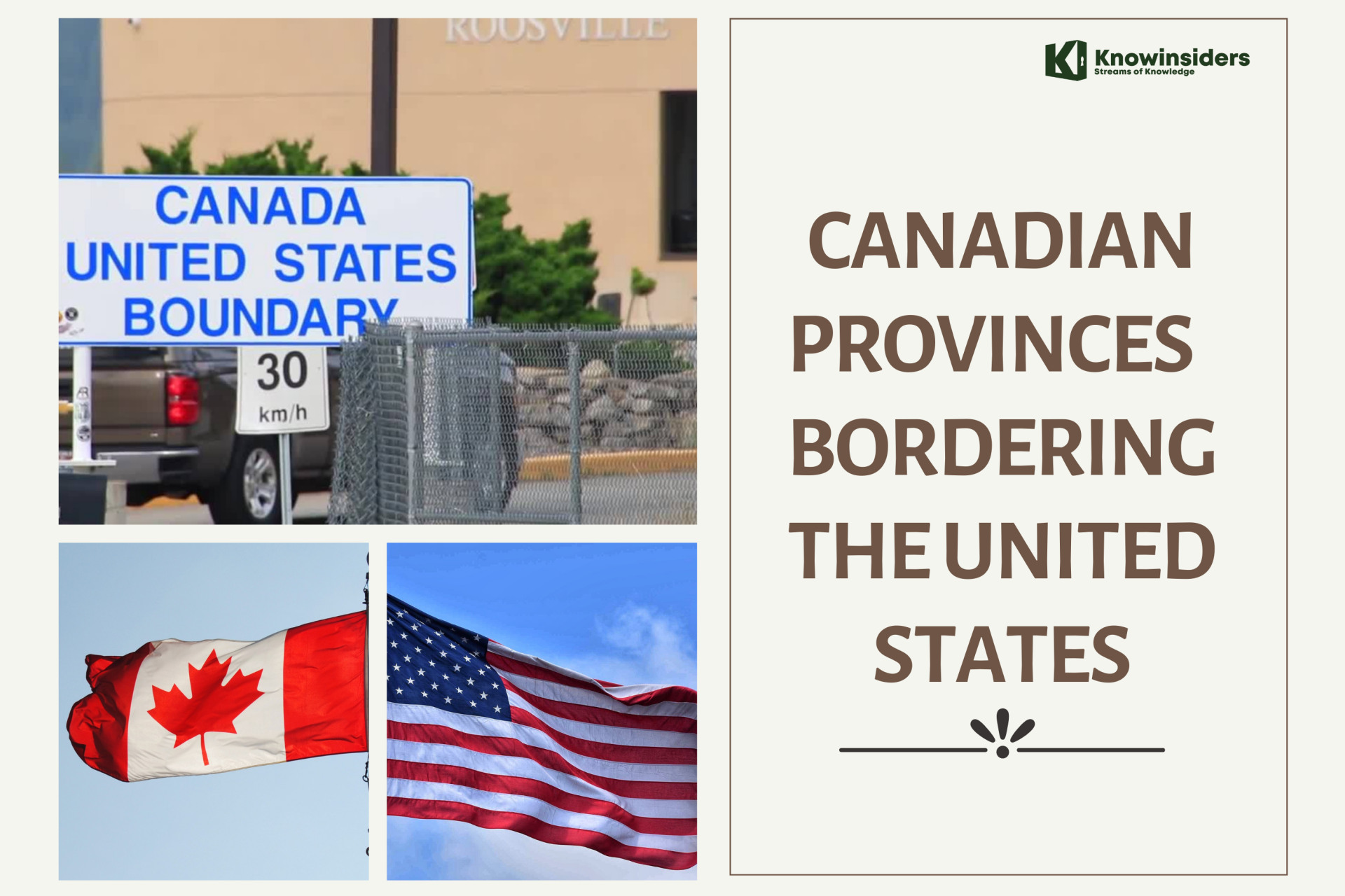 Which Canadian Provinces Border With The United States? Which Canadian Provinces Border With The United States? The United States shares a border with eight provinces or territories in Canada. Read on to know which provinces or cities are they! |
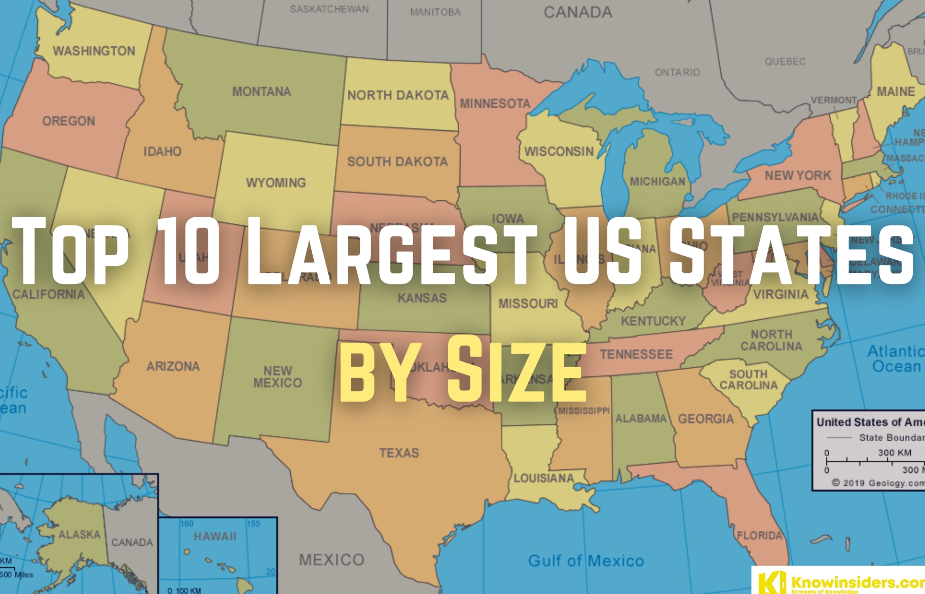 The Largest and Smallest States in America by Size The Largest and Smallest States in America by Size The United States is the world's third-largest country by area, ranking behind Russia and Canada. Within that large are 50 states that vary widely in ... |
 China-India Border Clash Latest News: Four Chinese dead, Demilitarised buffer Zone in eastern Ladakh China-India Border Clash Latest News: Four Chinese dead, Demilitarised buffer Zone in eastern Ladakh India and China are presently in the midst of a military de-escalation on both banks of the Pangong lake in eastern Ladakh. China Admits 4 ... |