The Largest and Smallest States in America by Size
 |
| Top 10 Largest US States by Size |
| Table Content |
US states are listed in order by size in square miles of land area - Alaska to Rhode Island. The land area of the entire United States is 3,531,905 square miles.
Alaska is by far the biggest state - you could fit Rhode Island (the smallest state) into Alaska several hundred times, yet Rhode Island has a significantly larger population according to the U.S. Census Bureau's estimated population figures for 2017, with Alaska at 739,795 compared to Rhode Island's 1,059,639 people.
| No. | Area (sq mi) | Census Region | Geographic Notes | |
|---|---|---|---|---|
| 1 | Alaska | 665,384 | Pacific | Largest state in the US, not bordered by any other US state |
| 2 | Texas | 268,596 | West South Central | Largest state in US mainland, and the second largest in the United States |
| 3 | California | 163,695 | Pacific | Largest state in mainland US Pacific Region and one of the three states in US mainland with a coastline at the Pacific Ocean |
| 4 | Montana | 147,040 | Mountain | Largest state in Mountain Region |
| 5 | New Mexico | 121,590 | Mountain | Santa Fe is the capital of New Mexico, it is the highest capital city in the United States at 2194 m (7198 ft)) |
| 6 | Arizona | 113,990 | Mountain | Home to the Grand Canyon |
| 7 | Nevada | 110,572 | Mountain | |
| 8 | Colorado | 104,094 | Mountain | One of the two states that have straight borders which seem to form a rectangle. |
| 9 | Oregon | 98,379 | Pacific | One of the three states in mainland US with a coastline at the Pacific Ocean |
| 10 | Wyoming | 97,813 | Mountain | One of the two states with straight state lines, seemingly forming a rectangular area. |
| 11 | Michigan | 96,713 | East North Central | Largest state in East North Central, but 40,175 sq mi (104,052 km²) are water area, 41.5% of the state is 'liquid' |
| 12 | Minnesota | 86,936 | West North Central | Largest state in West North Central |
| 13 | Utah | 84,897 | Mountain | |
| 14 | Idaho | 83,569 | Mountain | |
| 15 | Kansas | 82,278 | West North Central | |
| 16 | Nebraska | 77,348 | West North Central | |
| 17 | South Dakota | 77,116 | West North Central | |
| 18 | Washington | 71,298 | Pacific | One of the three states in US mainland with a coastline at the Pacific Ocean |
| 19 | North Dakota | 70,698 | West North Central | |
| 20 | Oklahoma | 69,899 | West South Central | |
| 21 | Missouri | 69,707 | West North Central | Named for the Missouri River, longest river in the US |
| 22 | Florida | 65,758 | South Atlantic | Largest state in South Atlantic region |
| 23 | Wisconsin | 65,496 | East North Central | |
| 24 | Georgia | 59,425 | South Atlantic | |
| 25 | Illinois | 57,913 | East North Central | |
| 26 | Iowa | 56,272 | West North Central | |
| 27 | New York | 54,555 | Middle Atlantic | Largest state in Middle Atlantic Region |
| 28 | North Carolina | 53,819 | South Atlantic | |
| 29 | Arkansas | 53,178 | West South Central | |
| 30 | Alabama | 52,420 | East South Central | Largest state in East South Central region |
| 31 | Louisiana | 52,378 | West South Central | |
| 32 | Mississippi | 48,432 | East South Central | The state is named after the Mississippi River, second longest river in the US. |
| 33 | Pennsylvania | 46,054 | Middle Atlantic | |
| 34 | Ohio | 44,825 | East North Central | |
| 35 | Virginia | 42,775 | South Atlantic | |
| 36 | Tennessee | 42,144 | East South Central | |
| 37 | Kentucky | 40,408 | East South Central | |
| 38 | Indiana | 36,420 | East North Central | |
| 39 | Maine | 35,380 | New England | Largest state in New England |
| 40 | South Carolina | 32,020 | South Atlantic | |
| 41 | West Virginia | 24,230 | South Atlantic | |
| 42 | Maryland | 12,406 | South Atlantic | Maryland has a water area of 2,698 sq mi (6,987 km²), 26.1 % |
| 43 | Hawaii | 10,932 | Pacific | The only US state located on an archipelago |
| 44 | Massachusetts | 10,554 | New England | |
| 45 | Vermont | 9,616 | New England | |
| 46 | New Hampshire | 9,349 | New England | |
| 47 | New Jersey | 8,722 | Middle Atlantic | |
| 48 | Connecticut | 5,543 | New England | |
| 49 | Delaware | 2,489 | South Atlantic | |
| 50 | Rhode Island | 1,544 | New England | Rhode Island is the smallest US state |
List of Top 10 Largest US States by Size
#1. Alaska (Total area: 665,384 square miles)
#2. Texas (Total area: 268,596 square miles)
#3. California (Total area: 163,696 square miles)
#4. Montana (Total area: 147,040 square miles)
#5. New Mexico (Total area: 121,590 square miles)
#6. Arizona (Total area: 113,990 square miles)
#7. Nevada (Total area: 110,572 square miles)
#8. Colorado (Total area: 104,094 square miles)
#9. Oregon (Total area: 98,379 square miles)
#10. Wyoming (Total area: 97,813 square miles)
The Largest US State: Alaska (665,384 square miles)
The current population of Alaska ranks the state 48th in the country in total population. With a massive surface area of 665,384 square miles, Alaska is by far the largest state in the US. It's obvious that Alaska is also by far the most sparsely populated state in the Union, with an average density of just 1.2 people per square mile.
 |
| Photo: Wikiwand |
As you would imagine, there aren't many big cities in Alaska. In total, there are just 29 cities and towns with a population of more than 1,000 people. The largest city, Anchorage, was home to 298,695 people in 2015, making it the 82nd largest city in the USA. Aside from Anchorage, there are only two cities with a population of more than 10,000 people - Juneau, the State capital, (pop: 32,756), and Fairbanks (pop: 32,325).
The Smallest US State: Rhode Island (1,544 square miles)
Rhode Island has just 1,545 square miles, and the Rhode Island population figures mean that there are 1,018.1 people on average for every square mile. The state is second only to New Jersey in terms of density.
 |
Rhode Island has a corridor of the population from the large Providence area to the northwest, following Blackstone River to Woonsocket. The state has just five counties, but no county government. Only the city of Providence has a population over 100,000, with an estimated 179,000 residents. Following in size are Warwick (81,699), Cranston (81,076), Pawtucket (71,591) and East Providence (47,408). The two most populated counties in Rhode Island are Providence and Kent with respective populations of 637,357 and 163,760.
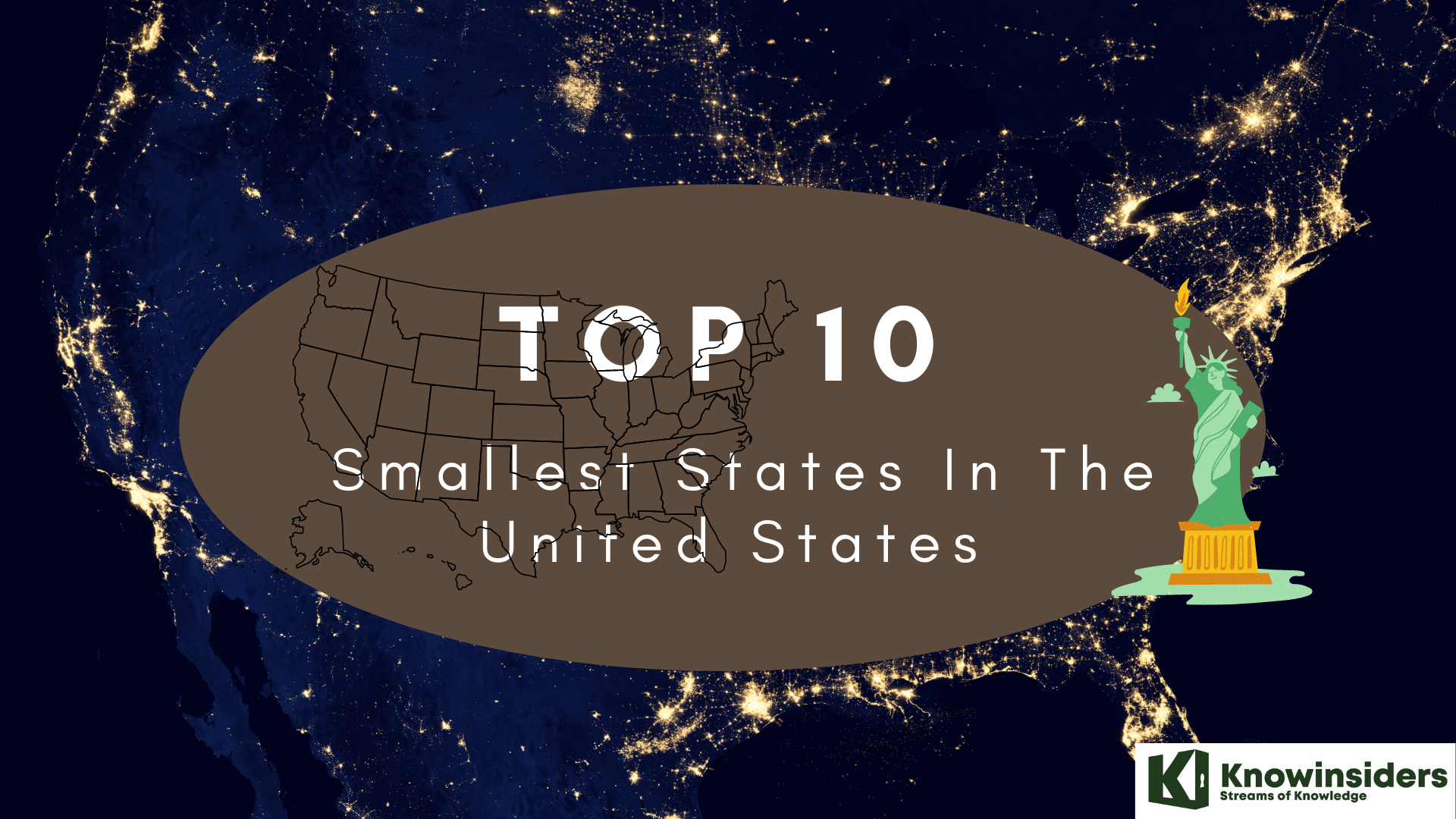
Among over 50 states in the United States, do you know which ones are the smallest states? Here are the Top 10 Smallest States In The United States:
10. Maine. Total area: 35,379.74 sq. miles
9. South Carolina. Total area: 32,020.49 sq. miles
8. West Virginia. Total area: 24,230.04 sq. miles
7. Hawaii. Total area: 10,931.72 sq. miles
6. Massachusetts. Total area: 10,554.39 sq. miles
5. Vermont. Total area: 9,616.36 sq. miles
4. New Jersey. Total area: 8,722.58 sq. miles
3. Connecticut. Total area: 5,543.41 sq. miles
2. Delaware. Total area: 2,488.72 sq. miles
1. Rhode Island. Total area: 1,544.89 sq. miles
READ MORE: How Many States Are There In The United States - 50 or 52?
 10 Smallest States In The United States 10 Smallest States In The United States Among over 50 states in the United States, do you know which ones are the smallest states? |