Top 10 Longest Rivers in Canada: Interesting Facts
 Top 15+ Interesting Facts about Canada Top 15+ Interesting Facts about Canada Have you ever gone to Canada? There is something more about this interesting country. Below are 15+ little interesting facts that might surprise you once ... |
 ONLY in CANADA: 9 Crazy Things You Should Know ONLY in CANADA: 9 Crazy Things You Should Know Canada, the vast land in the northern part of North America, the world's second-largest country, has some weird things that maybe you don't know. |
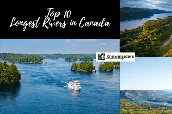 |
| Longest rivers in Canada. Photo: KnowInsiders |
The longest river in Canada is the Mackenzie River in the Northwest Territories, measured at 4,240 kilometers in length, in comparison to the St. Lawrence River, spanning both Quebec and Ontario, which is 3,058 kilometers. In terms of discharge volume, the St. Lawrence River is considered the largest river, discharging some 9,850 cubic meters of water per second.
Top 10 Longest And Most Beautiful Rivers in Canada
(Ranked by Knowinsiders.com in 2023)
1. Mackenzie 2,635 miles
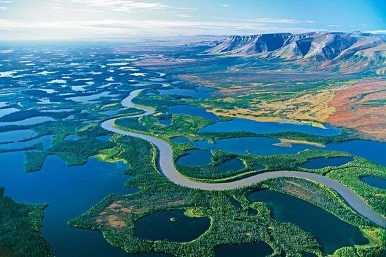 |
| Mackenzie |
The Mackenzie River is the longest river in Canada, the second longest river system in all of North America, and the twelfth longest river in the world, measuring 2,635 miles (4,240 kilometers) in length. The Great Slave Lake serves as the river's source, which flows through Canada's Yukon and Northwest Territories.
The massive area that it passes through is extremely isolated, and comprised of varying tundra and forest habitats, and is covered in ice for much of the year in places. The river comes to an end at the Arctic Ocean's mouth, which is located in the Beaufort Sea. The watershed of the Mackenzie River, which is mostly covered by forest with some wetlands, is one of the biggest and one of the most intact ecosystems in all of North America. 53 different fish species call the region home, along with 215 bird species that have been seen residing there or passing through on their migratory routes.
Oil, gas, lumber, uranium, gold, and tungsten are all extracted from the Mackenzie River watershed at various sites throughout various provinces. In recent years, these activities have started to pose increasing threats to the river ecology of the headwaters of the Mackenzie River.
| Climate change in the Mackenzie river Currently, the Mackenzie basin and its surroundings are being impacted by climate change. One of the main effects the region is experiencing is unusual floods. Furthermore, there are worries that drilling waste from oil and gas exploration will become exposed in the future as the permafrost thaws and could contaminate regional environments. |
2. Yukon 1,979 miles (shared with U.S.A.)
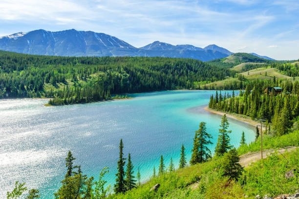 |
| Yukon River |
The Yukon River is Canada's second-longest river at 1,979 miles (3,184 kilometers). The Liewellyn Glacier at Atlin Lake serves as the Yukon River's source, and it flows from there through the Canadian provinces of British Columbia and Yukon as well as the US state of Alaska until it reaches the Yukon-Kuskokwim Delta, where it empties into the Bering Sea.
The Klondike Gold Rush (1896–1906) saw the Yukon River play its largest role as one of the main transportation routes for miners and prospectors in search of gold. In addition to being a part of the Klondike Gold Rush International Historical Park, the so-called Thirty Mile section of the Yukon, which runs from Lake Laberge to the Teslin River, is also recognized as a national heritage river.
Paddle-wheel riverboats were the primary mode of transportation in the region up until the 1950s, when the Klondike Highway was finished.
3. Saint Lawrence 1,900 miles (shared with U.S.A.)
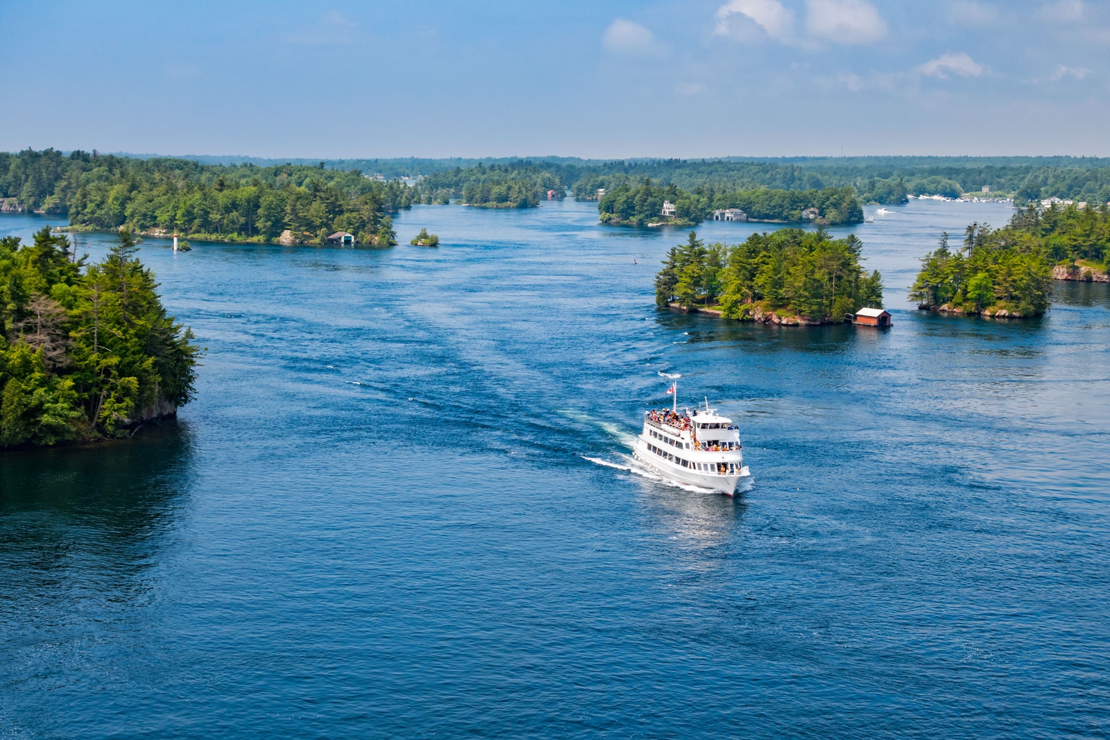 |
| Saint Lawrence |
In the middle latitudes of North America, there is a sizable river called the St. Lawrence River. The St. Lawrence River connects the Great Lakes with the Atlantic Ocean and serves as the main drainage outflow for the Great Lakes Basin. It flows in a general north-easterly direction.
It runs through the Canadian provinces of Ontario and Quebec and forms a portion of the international border between Canada's Ontario and the state of New York in the United States. The St. Lawrence Seaway is a commercial route that is founded on this river.
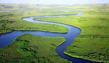 Top 11 Longest And Beautiful Rivers in the World Top 11 Longest And Beautiful Rivers in the World |
4. Nelson River 1,600 miles
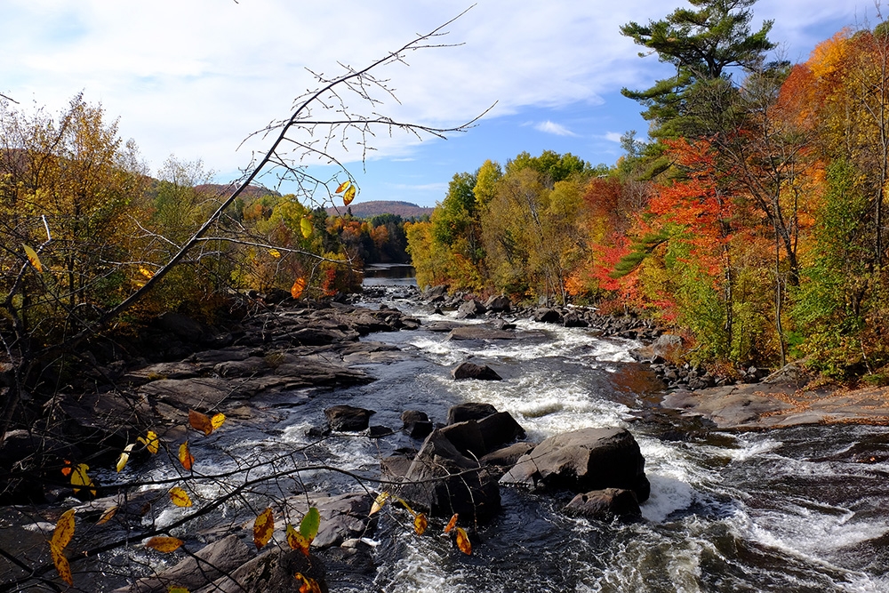 |
| Photo: The Canadian Encyclopedia |
The Nelson River is a river of north-central North America, in the Canadian province of Manitoba. The river drains Lake Winnipeg and runs 644 kilometres (400 mi) before it ends in Hudson Bay. Its full length (including the Saskatchewan River and Bow River) is 2,575 kilometres (1,600 mi), it has mean discharge of 2,370 cubic metres per second (84,000 cu ft/s), and has a drainage basin of 1,072,300 square kilometres (414,000 sq mi), of which 180,000 square kilometres (69,000 sq mi) is in the United States.
 Top 10 Longest Rivers in the United States Top 10 Longest Rivers in the United States The US has an abundance of rivers that are not only long but also with beautiful sceneries. Check out the 10 longest rivers in the ... |
5. Slave 1,453 miles
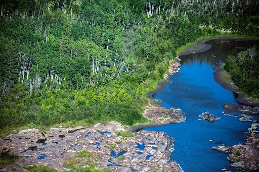 |
| Slave River |
The Slave River, at 1,453 miles (2,338 kilometers), is Canada's fifth-longest river. The river originates at the meeting of the Peace River and the Rivière des Rochers in the Peace-Athabasca Delta and travels through Alberta before emptying into the Great Slave Lake. The name of the river is derived from the Athabaskan term for the South Slavey group of the Dene first nations people (Deh Co, Dene Tha').
When railroad service arrived in the area, the Slave River's importance as a cargo shipping route declined during the 1800s. The river is also the location of the northernmost colony of river pelicans in North America and is well known throughout the world for some of the best whitewater kayaking in the world.
6. Columbia 1,243 miles (shared with U.S.A.)
 |
| Columbia River |
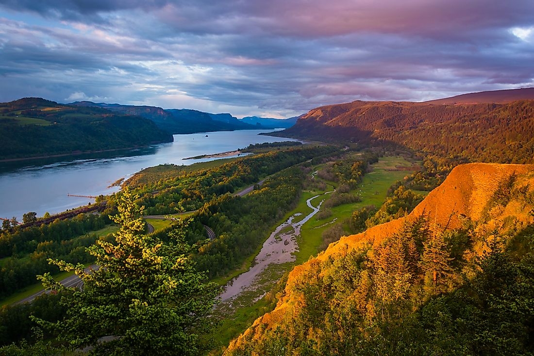
The Columbia River, at 1,243 miles (2000 kilometers), is Canada's sixth-longest river. The Columbia Lake serves as the river's source. The river then flows through the Canadian provinces of British Columbia, Washington, and Oregon in the United States. In Clastop County, Oregon, and Pacific County, Washington, the river empties into the Pacific Ocean. The drainage basin of the Columbia River, which drains into seven American states as well as the Canadian province of British Columbia, is almost as large as the entirety of France.
The Columbia River has been a vital route for transportation for many years, beginning with its significance for fur trading in the late 1700s and early 1800s. Steamships and later railroads along the river were important for transporting goods and facilitating trade as settlers began to arrive in the area. The river has undergone extensive development since the late 1800s, including the construction of locks, enlarging of shipping channels through dredging, damming reservoirs, and nuclear power generation.
There are 14 hydroelectric dams along the river, 3 in Canada and 11 in the United States, which generate electricity for the local communities. The Chinook, Coho, Sockeye Salmon, and Steelhead are among the anadromous fish species that live in the river and migrate from the Pacific Ocean to the freshwater tributaries of the Columbia. Overfishing, the construction of dams along the river, and predators that are now flourishing in the slower water have all significantly harmed the salmon habitats in the Columbia over the past century. The Oregon Treaty, which established the border along the 49th Parallel up to the Strait of Georgia, resolved the conflict between the United States and the British-ruled Canada.
7. Saskatchewan River 1,195 miles
 |
| Saskatchewan River |
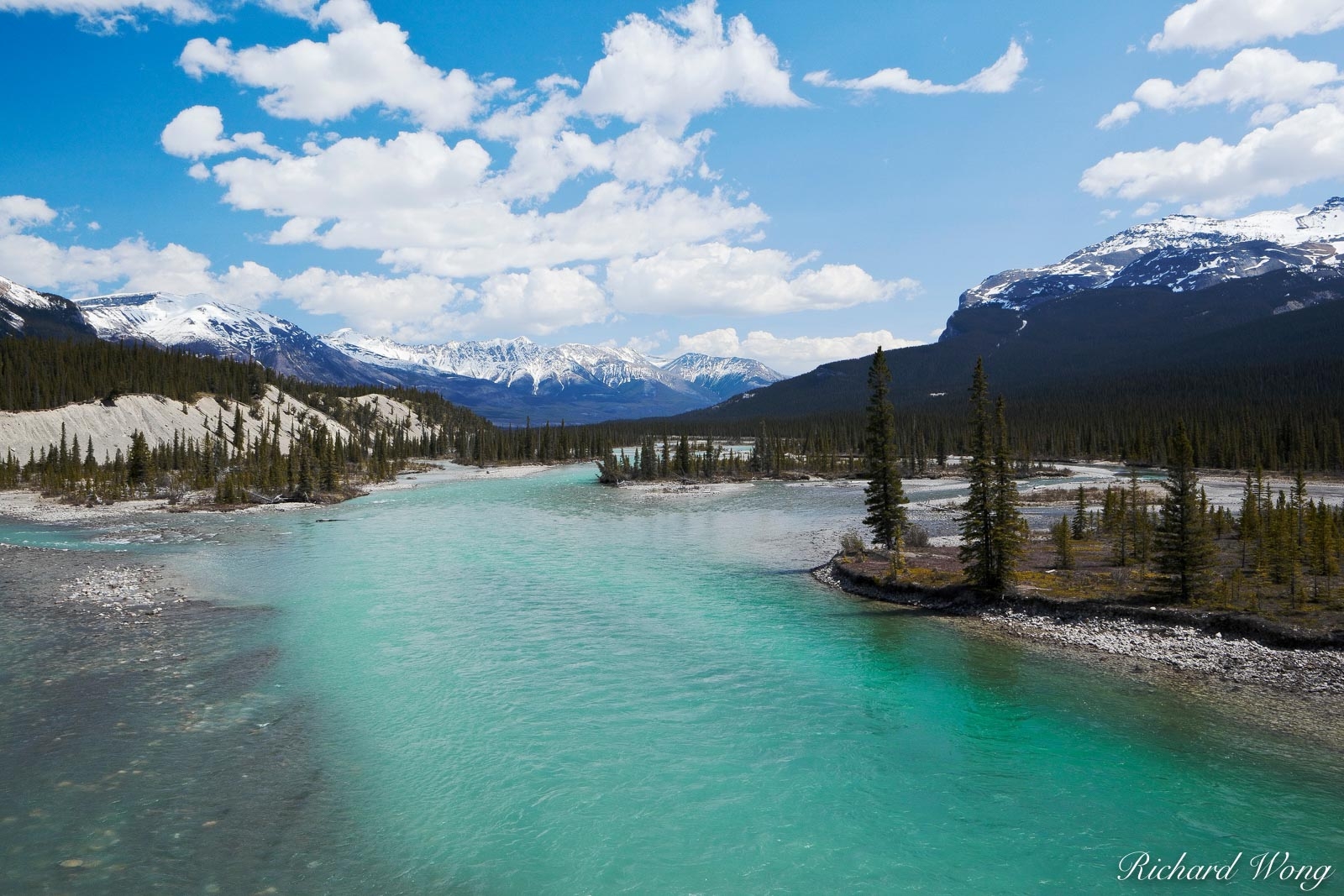
The Saskatchewan River, also known as the "swift flowing river" in Cree, is a significant river in Canada that runs roughly eastward through Saskatchewan and Manitoba before emptying into Lake Winnipeg. It is about 550 kilometers (340 mi) long.
Its watershed spans a large portion of the prairie regions of central Canada through its tributaries, the North Saskatchewan and South Saskatchewan, and extends westward to the Rocky Mountains in Alberta and northwestern Montana in the United States. To its farthest headwaters on the Bow River, a tributary of the South Saskatchewan in Alberta, it travels 1,939 kilometers (1,205 mi).
 10 Longest & Most Beautiful Rivers in the United States 10 Longest & Most Beautiful Rivers in the United States |
8. Peace River 1,195 miles
 |
| Photo: Fort St. John |
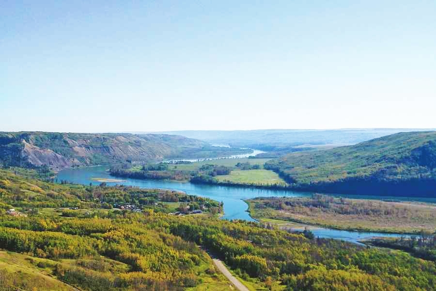
The Peace River, also known as the rivière de la Paix, is a 1,923-kilometer (1,195 mi) long river in Canada that flows through northern Alberta on its way to the northeast from its source in the Rocky Mountains of northern British Columbia. The Slave River, a tributary of the Mackenzie River, is formed when the Peace River and Athabasca River converge in the Peace-Athabasca Delta.
The main headwater of the Peace River, the Finlay River, is thought to be the Mackenzie River's primary source. The system of rivers that includes the Finlay, Peace, Slave, and Mackenzie ranks as the 13th longest in the world.
9. Churchill 1,000 miles
 |
| Photo: Twitter |
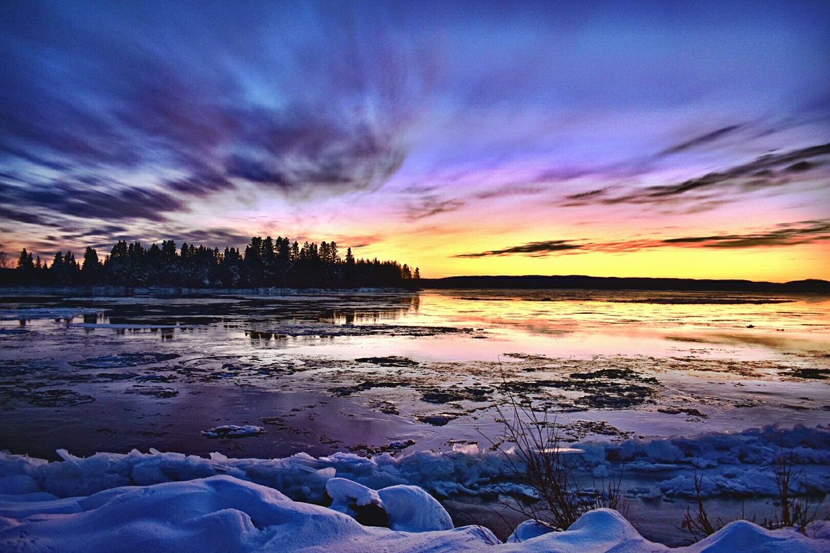
The Churchill River, at 1,000 miles (1,609 kilometers), is Canada's ninth-longest river. The river flows through the Canadian provinces of Alberta, Saskatchewan, and Manitoba as it travels from its mouth in Hudson Bay to its source at the head of Churchill Lake. The Beaver River is the main tributary of the Churchill River, and the two rivers converge at Lac Île-à-la-Crosse.
Starting in the 1700s and through the 1900s the Churchill River played a major part in the voyageur highway for fur traders to get their furs to market to sell or be shipped overseas. A dozen different fish species, including the yellow perch, northern pike, burbot, and white sucker, can be found in the Churchill River. John Churchill (1650–1722), the first Duke of Marlborough and Prince of Mindelheim, is honored by having the river bear his name.
10. South Saskatchewan 865 miles
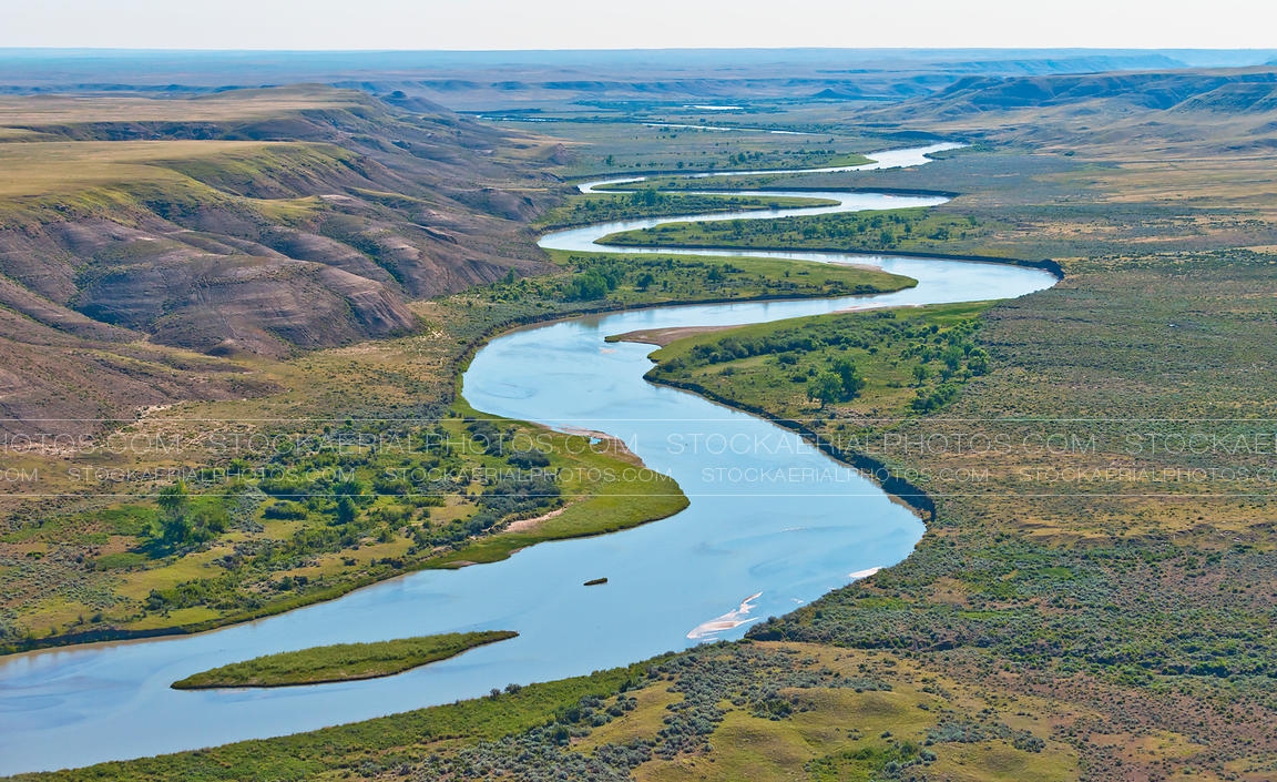 |
| Photo: Stock Aerial Photos |
At 865 miles (1,392 kilometers) long, the South Saskatchewan River is the tenth longest river in Canada. The Rivers goes through the provinces of Alberta and Saskatchewan, starting from the where the Bow River and Oldman River meet and going until its mouth at the Saskatchewan River Falls. In 1967 the Lake Diefenbaker resistor was created to use the water from the South Saskatchewan River to generate hydro-electric power for SaskPower to provide to the province of Saskatchewan.
During the first half of the 1900s the river would fully freeze over in winter time, which created dangerous conditions and the ice even destroyed a bridge one year. In 1967 the Gardiner Dam was constructed to divert a large part of the South Saskatchewan into the nearby Qu'Appelle River. This caused the river to have less power and not cause damage during winter but it has lower the level of the river enough to cause permanent sandbars.
The South Saskatchewan River has thirteen connecting tributaries, three major islands on it and is home to about a dozen different species of fish such as the rainbow trout and the goldeye. In a 2009 report by World Wide Fund for Nature (WWF)-Canada, the group reported that the South Saskatchewan River was most at risk as its flow had been reduced by 70%, and steps needed to be taken to protect and restore it.
 Top 10 Most Beautiful Rivers in the World Top 10 Most Beautiful Rivers in the World Rivers have been an extremely essential part of people’s lives throughout centuries in all parts of the world, and undoubtedly they are incredibly charming. |
 Top 11 Longest Rivers in the World Top 11 Longest Rivers in the World Want to know which is the world’s longest river? Here’s a list of the 11 longest rivers in the world by their total length. |
 Top 7 Longest Rivers in The World Top 7 Longest Rivers in The World The world features some amazingly long rivers but which are the longest? Check out our list of the top seven longest rivers in the world. |


