Top 10 Most Beautiful Coastlines in the U.K You Must Visit
The Most Beautiful UK Coastlines That You Can Visit Right Now |
Table of Contents |
Stay In Cornwall has compiled a list of the top 10 coastlines in the United Kingdom. The rental cottage business examined all of the UK's shorelines to compile the information.
Factors such as the number of national parks, the length of the coast path, the number of awards received, and the number of Instagram hashtags were used to assign a final score to each coastline.
After compiling the data, researchers settled on a list of the top 10 best coastlines in the United Kingdom, with Devon coming out on top.
Top 10 Most Beautiful UK Coastlines
1. Devon
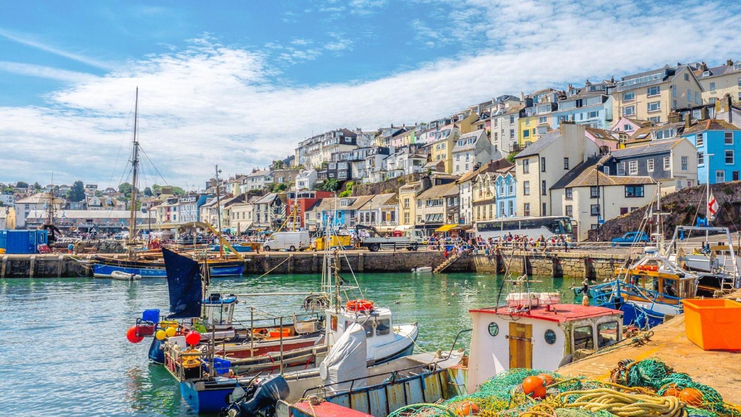
Photo: Shutterstock |
Devon, in South West England, runs from the Bristol Channel to the English Channel. Cornwall, Somerset, and Dorset border it on the west, north, and east. The county seat is Exeter. Devon has East, Mid, North, South Hams, Teignbridge, Torridge, and West districts. Plymouth and Torbay are considered unitary authorities despite being in Devon. Devon is a ceremonial county with 1.2 million residents and 6,707 km2 (2,590 square miles).
Devon is named after Dumnonia (a Celtic consonant shift from m to v). Dumnonii Brittonic Celts lived here during the British Iron Age, Roman Britain, and early Middle Ages. In the eighth and ninth centuries, the Anglo-Saxon settlement of Britain partially assimilated Dumnonia into Wessex. King Æthelstan established the western boundary with Cornwall at the River Tamar in 936. Devon became a shire of England.
Devon has cliffs and sandy beaches on its north and south coasts, and its bays have seaside resorts, fishing towns, and ports. The inland is rural, hilly, and less populous than much of England. A granite bedrock moorland, Dartmoor is southern England's largest open space at 954 km2 (368 square miles). North of Dartmoor are Culm Measures and Exmoor. South and east Devon's valleys and lowlands, drained by the Exe, Culm, Teign, Dart, and Otter, have richer soil.
Devon's economy relies on agriculture and tourism. Devon is a popular English vacation spot due to its mild climate, coastline, and landscape. Dartmoor and Exmoor national parks, the English Riviera, the Jurassic Coast, North Devon's UNESCO Biosphere Reserve, and the Cornwall and West Devon Mining Landscape draw visitors.
Exeter and Plymouth are constant reminders of Devon's maritime leadership. Yachties use Devon's creeks and bays, especially in Dartmouth and Salcombe, where amateur sailors abound. Landlubbers flock to sandy beaches and seaside resorts, especially Torquay on the south coast and Ilfracombe on the north. The most attractive are those that retain their nineteenth-century elegance, like Sidmouth, east Devon. The county has lush pastures and a few sheltered villages, with Dartmoor, the West's wildest and bleakest moor, having almost no population.
2. Hampshire
Photo: Shutterstock |
South East England's Hampshire borders the English Channel. County seat is Winchester, but Southampton is the county name. Southampton and Portsmouth are unitary authorities, while Hampshire County Council and non-metropolitan district councils govern the rest of the county.
Hampshire was settled about 14,000 years ago and its capital was Winchester, then called Venta Belgarum, in Roman Britain. In the 11th century Domesday Book, the county was divided into 44 hundreds. From the 12th century, trade with the continent, wool and cloth production, fishing, and large shipbuilding boosted the ports. Southampton had more people than Winchester by the 16th century. By the mid-19th century, the county's population was 219,210 (double that at the start of the century) in more than 86,000 homes, and agriculture was the main industry. 10% of the county was still forest. Hampshire held key military roles in both World Wars. The Local Government Act 1972 (1974) defined the ceremonial county. The Isle of Wight and Bournemouth and Christchurch were administered by Dorset although they were historically part of Hampshire.
The county has mostly south-flowing rivers and upland to 286 meters (938 ft). Downland, marsh, and two national parks—the New Forest and part of the South Downs—cover 45% of Hampshire.
Hampshire has a lower unemployment rate than the national average and is one of the wealthiest counties. Major companies, maritime, agriculture, and tourism drive its economy. Seaside resorts, national parks, the National Motor Museum, and Southampton Boat Show attract tourists. Jane Austen and Charles Dickens lived in the county. Florence Nightingale and Isambard Kingdom Brunel were born in Hampshire.
Hampshire has developed urban areas around its cities and beautiful unspoiled countryside like the New Forest. Many cycling and walking trails are listed at the New Forest Visitor Centre in Lyndhurst.
Hampshire's New Forest and other countryside areas offer beautiful scenery and great walking and cycling trails.
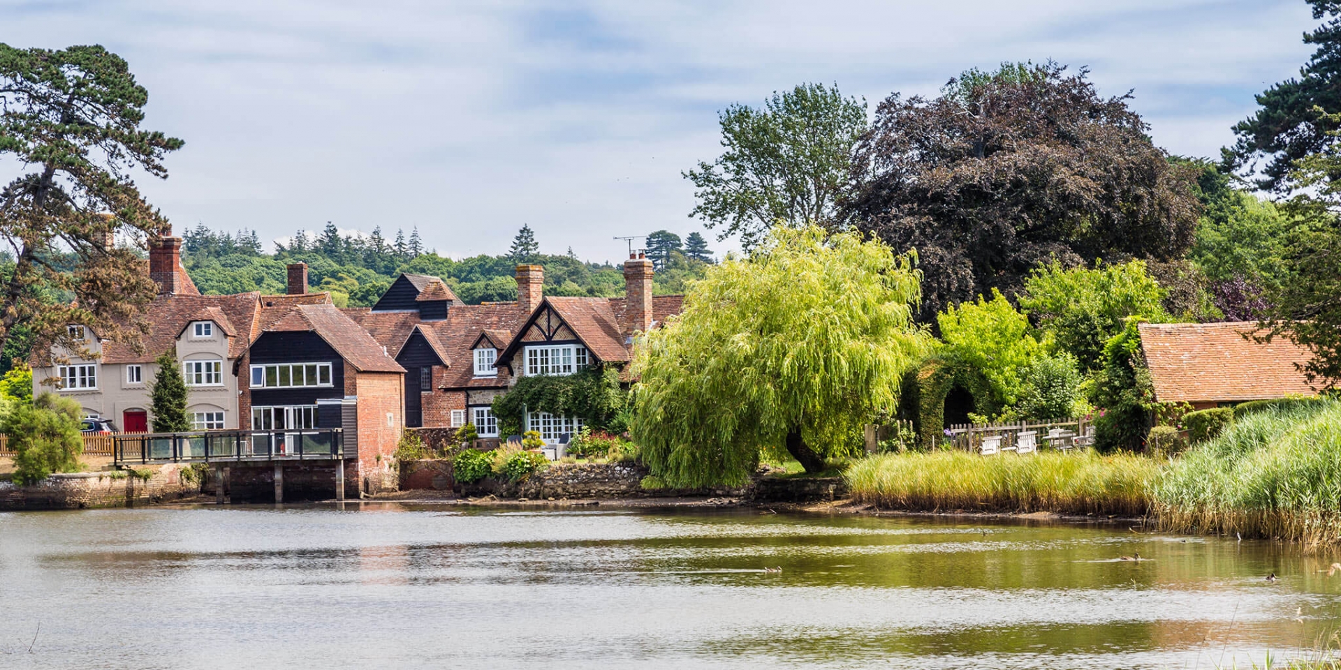
A popular attraction is Beaulieu, a former abbey at the southern tip of the New Forest, which recreates medieval monastery life, and Palace House, the Montagu family home.
Many visitors come to Beaulieu to see the National Motor Museum. Several hundred vehicles are on display. The National Motor Museum and a mansion built on a medieval abbey ruin make Beaulieu a varied destination.
Beaulieu Palace converted the 14th-century Great Gatehouse of Beaulieu Abbey into a lovely family home.
Buckler's Hard, a picturesque shipbuilding village nearby, is for maritime enthusiasts. Buckler's Hard gave Admiral Nelson some ships for the Battle of Trafalgar, and a museum honors this naval tradition.
Hampshire's Solent is one of England's busiest coastal zones and one of the UK's top sailing destinations. It's also important for conversation and landscape.
Southampton, a major Hampshire city, is east of the New Forest and 12 miles from Winchester on the south coast. Southampton, a naval and trading port, has medieval buildings like the city wall and the 14th-century Bar Gate.
The Victorian era saw the city grow into a spa town and shipbuilding hub.
Visitors can learn about the city's maritime history at Sea City Museum and aviation history at Solent Sky.
Medieval Merchants House, Mottisfont Abbey, and Tudor House and Garden are local historical attractions, as is the City Art Gallery, which has fine art collections from over six centuries.
3. Cornwall
Photo: Getty Images |
Cornwall is South West England's ceremonial and historic county. One of the Celtic nations, it is the Cornish homeland. Cornwall borders Devon to the east, the Atlantic Ocean to the north and west, and the English Channel to the south. The River Tamar divides them. Cornwall is the westernmost point of Britain's South West Peninsula. Lizard Point is southernmost and Land's End southwest. The population of Cornwall is 568,210 and its area is 3,563 km2. The unitary authority Cornwall Council has administered Cornwall since 2009. The Isles of Scilly, administered separately, are part of Cornwall. Cornwall's only city, Truro, is its capital.
Cornwall was a Brythonic kingdom and royal duchy. Cornish diaspora culture and ethnicity come from it. Cornwall's constitutional status is disputed by the Cornish nationalist movement, which wants a devolved legislative Cornish Assembly with powers similar to Wales, Scotland, and Northern Ireland. The European Framework Convention for the Protection of National Minorities recognized Cornish people as a distinct ethnic group in 2014.
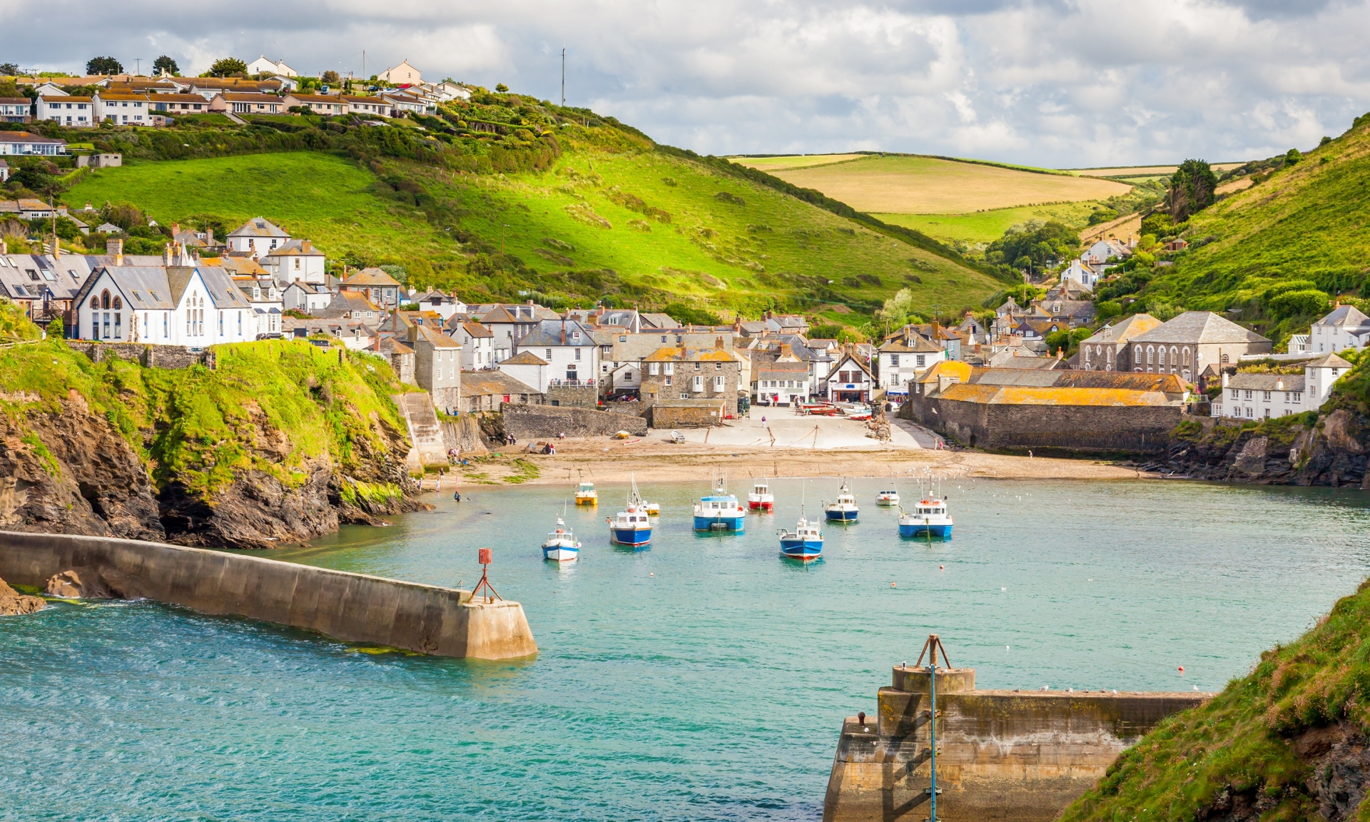
Cornwall is famous for its geology and coastline. Cornwall contains much of the Cornubian batholith. Many north coast cliffs expose geological formations for study. Its wild moorland landscapes, long and varied coastline, attractive villages, Cornish place-names, and mild climate are famous. Areas of Outstanding Natural Beauty protect much of Cornwall's coastline and Bodmin Moor.
Cornwall's industrial past is more prominent than Devon's. The conical spoil heaps around St. Austell show that china clay is still mined, and its western stretches are littered with the derelict stacks and castle-like ruins of engine houses that powered the region's copper and tin mines. The county's grey nonconformist chapels reflect Methodism's impact on Cornwall's mining communities. Tourism is Cornwall's main industry today. Tourism has crowded Land's End with a tacky leisure complex but left Lizard Point, Cornwall's other great headland, undeveloped. Falmouth, home to the National Maritime Museum, and Newquay, the West's main surfing destination, have adapted to mass tourism, but smaller, quainter places like Mevagissey, Polperro, and Padstow, whose charms can be hard to spot in full season, have suffered more. While Bodmin Moor, a wilderness in Cornwall, and the Isles of Scilly, idyllically undeveloped, are the most remote, Fowey and Boscastle still have an authentic feel. Tintagel, home to King Arthur's Castle, and St Ives and Bude, both with great surfing beaches, are hard to beat, while the Eden Project near St Austell celebrates environmental diversity in a unique way.
The most central of Newquay's seven miles of firm sandy beaches is Towan Beach in the crook of Towan Head. This and Porth Beach, with its grassy headland, are popular with families in high season and surfers all year, though surfers prefer Watergate Bay to the north and Fistral Bay west of Towan Head.
Crantock Beach, across East Pentire Head from Fistral and accessible by ferry or upstream footbridge, is less crowded and has beautiful dunes and grassland. Surfers love Holywell Bay and Perran Beach, a three-mile stretch south of Crantock with caves and rock arches.
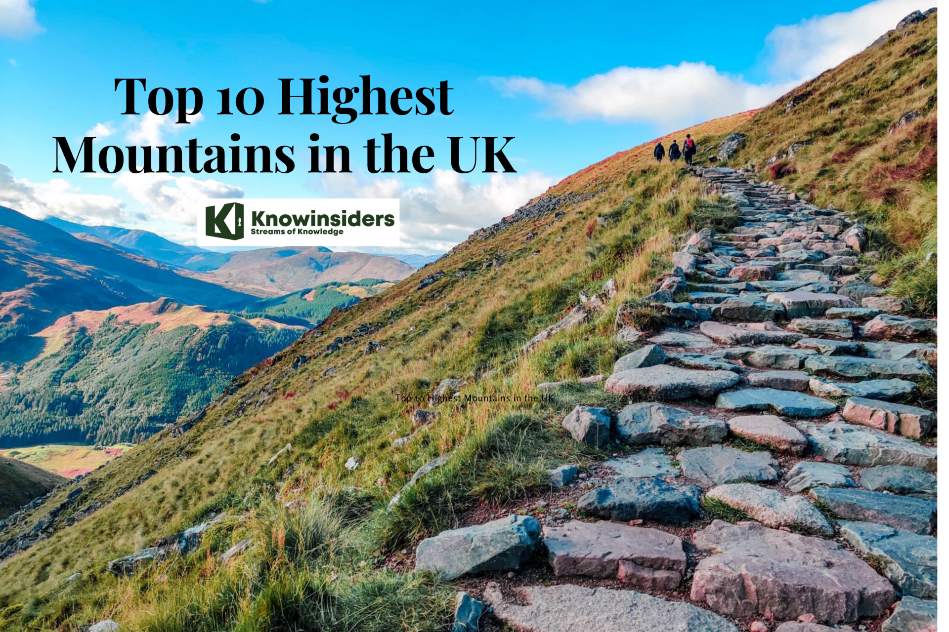
Top 10 Highest Mountains in the UK The UK is home to over 200 mountains that rise above 1,000m – with the majority of these in Scotland. Check out the list of ... |
4. Highland
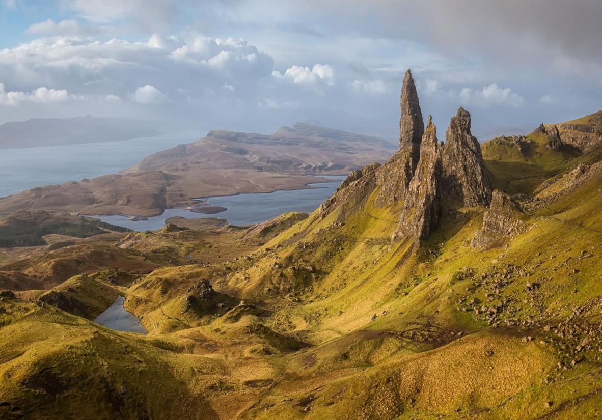
Photo: Shutterstock |
Scottish Highlands are historical. The Highlands and Lowlands diverged culturally from the Late Middle Ages to the modern period, when Lowland Scots replaced Scottish Gaelic in most Lowlands. The term is also used for the area north and west of the Highland Boundary Fault, but the boundaries are unclear, especially to the east. The Great Glen separates the southeast Grampians from the Northwest Highlands. The Scottish Gaelic name A' Ghàidhealtachd means "the place of the Gaels" and traditionally includes the Western Isles and Highlands.
Artists like Henry Bates Joel depict the Scottish Highlands, known for their natural beauty.
Many mountain ranges dominate the sparsely populated area, including Ben Nevis, the highest mountain in the British Isles. In the 18th and early 19th centuries, the Highlands' population reached 300,000, but emigration (notably to Canada, the US, Australia, and New Zealand, and to industrial cities in Scotland and England) outpaced natural growth for the next 160 years (xxiii, 414 and passim). It is now one of Europe's least populous. The Highlands and Islands' 2012 population density was 9.1/km2 (24/sq mi), less than one seventh of Scotland's, comparable to Bolivia, Chad, and Russia.
Much of the Highlands are administered by the Highland Council in Inverness. The Highlands also cover parts of Aberdeenshire, Angus, Argyll and Bute, Moray, North Ayrshire, Perth and Kinross, Stirling, and West Dunbartonshire.
The only taiga biome in the British Isles is the Scottish Highlands, where Scots pine forest is concentrated: Caledonian Forest. It is Britain's most mountainous region.
Lewisian gneiss and Torridonian sandstone, some of the world's oldest rocks, tell intoxicating stories along with the natural drama. Highland history is alive and raw.
The Highland Clearances of the 18th and 19th centuries left this region a wilderness. The hills have a unique identity beyond kilts and bagpipes due to tragedy, a lost land, bonnie princes, and hopeless causes.
Beyond the stunning scenery, the Scottish Highlands offer plenty to do. Nature hikes, breathtaking train rides, and famous lake monsters are just a few reasons to visit the Scottish Highlands.
Each season has its own pleasures, from watching the Highland Games in summer to steaming the rails in autumn.
Spring is a great time to hunt for machair wildflowers in the Inner Hebrides (its northern isles fall under the Highland Council), and you could be one of the first to hike the new trails that are revitalizing the glens and lochs.
5. Kent & Pembrokeshire
Photo: The Times |
Home counties include Kent in South East England. It borders Greater London of the north-west, Surrey of the west, East Sussex of the south-west, Essex of the north across the Thames estuary, and Pas-de-Calais of France across the Strait of Dover. County seat is Maidstone. The fifth most populous county in England, the most populous non-Metropolitan county, and the most populous home county.
The Jutes were among the first Germanic tribes to settle Kent after the Romans left. Canterbury Cathedral in Kent, England's oldest cathedral, has hosted the Archbishops of Canterbury since Saint Augustine converted England to Christianity in the 6th century. Rochester Cathedral in Medway is England's second-oldest. Kent, between London and the Strait of Dover, has hosted war and peace talks, including the Battle of Britain in World War II and the 1978 and 2004 Leeds Castle peace talks.
The Cinque Ports in the 10th–14th centuries and Chatham Dockyard in the 16th–20th centuries were crucial to England's warship production. In clear weather, Folkestone and the White Cliffs of Dover can see France. North Downs and Greensand Ridge hills run the length of the county, and most of its 26 castles are in the Vale of Holmesdale to the south.
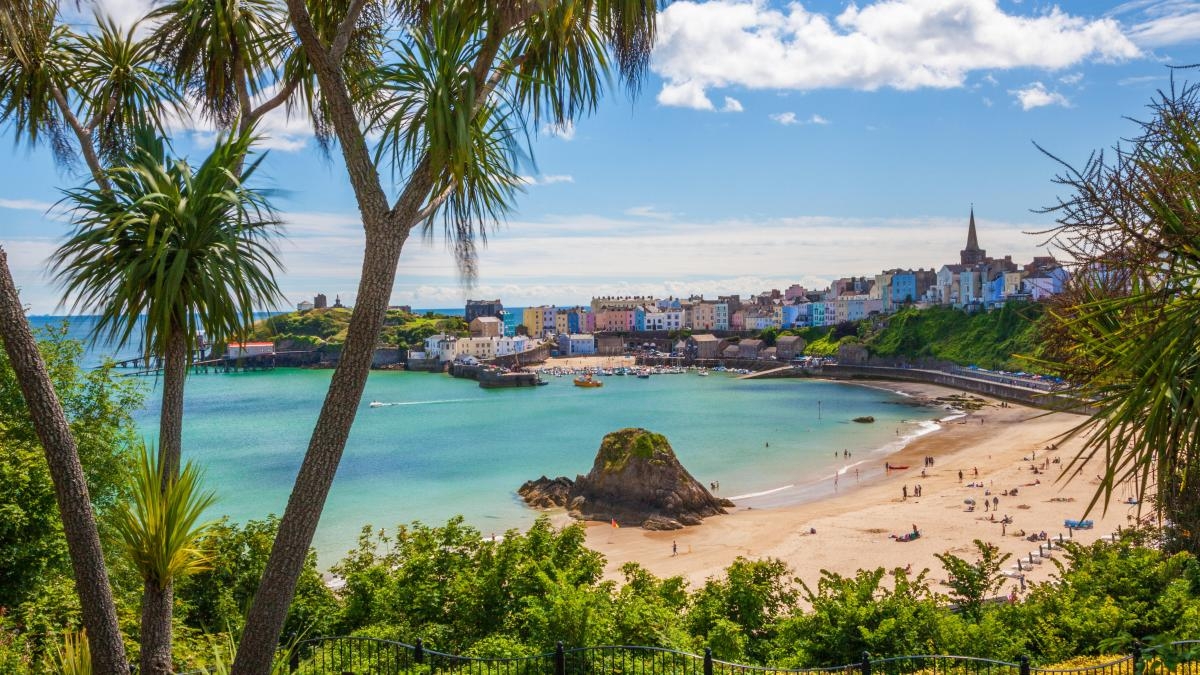
Pembrokeshire is in southwest Wales. It borders Carmarthenshire to the east, Ceredigion to the northeast, and the sea. The county has Pembrokeshire Coast National Park. The Park covers more than a third of the county and includes the Preseli Hills in the north and the 190-mile (310 km) Pembrokeshire Coast Path.
Mining and fishing were important in the past, but agriculture (86% of land use), oil and gas, and tourism dominate today. Pembrokeshire's beaches have won many awards. Geology, habitats, and wildlife vary throughout the county. From tribal occupation to Roman, Welsh, Irish, Norman, English, Scandinavian, and Flemish influences, its prehistory and modern history have been extensively studied.
Haverfordwest houses Pembrokeshire County Council's headquarters. Although the council is majority Independent, the county's Senedd and UK Parliament representatives are Conservative. The 2011 census counted 122,439 people in Pembrokeshire, up 7.2% from 114,131 in 2001. The county is 99 percent white, and Welsh is spoken more in the north than the south for historical reasons.
6. Cumbria
Photo: Creative Tourist |
Cumbria is a ceremonial, non-metropolitan North West England county. The Local Government Act 1972 created Cumbria County Council and the county in 1974. Carlisle, in northern Cumbria, is the county seat. The county's only other major city is Barrow-in-Furness on the southwest tip.
In 2019, Cumbria had just over 500,000 residents in six districts: Allerdale, Barrow-in-Furness, Carlisle, Copeland, Eden, and South Lakeland. With 73.4 people per km2 (190/sq mi), Cumbria is one of England's least populous counties. The administrative county of Cumbria was proposed to be abolished in late 2021 and replaced with two unitary authorities, Westmorland and Furness (Barrow-in-Furness, Eden, South Lakeland) and Cumberland.
By area, Cumbria is England's third largest county. It borders Northumberland, County Durham, North Yorkshire, Lancashire, the Irish Sea, Dumfries and Galloway, and Scottish Borders.
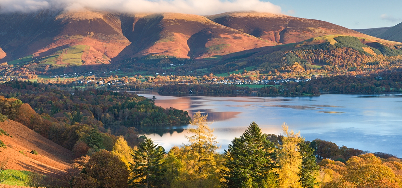
Cumbria is mostly rural and home to the Lake District National Park, a UNESCO World Heritage Site that inspires visual artists, writers, and musicians. The Yorkshire Dales National Park covers much of the county's south-east, and the North Pennines AONB borders the east. The highest point in England, Scafell Pike at 3,209 feet (978 m), is in Cumbria, which is mostly mountainous. Invasions, migration, settlement, and English-Scottish battles characterize Cumbria's upland, coastal, and rural history. Carlisle Castle, Furness Abbey, Hardknott Roman Fort, Brough Castle, and Hadrian's Wall are landmarks in Cumbria.
The Lake District is England's most famous scenery for good reason. Within 30 miles, sixteen major lakes are squeezed between the country's highest mountains, creating an almost alpine landscape of sparkling water, dramatic valleys, and charming stone-built villages. Lake District National Park, in northwestern Cumbria, covers most of the Lake District. The county capital is Carlisle, which has Roman roots, while the isolated western coast and eastern market towns like Kendaland Penrith disprove the idea that Cumbria is all about its lakes.
10 Most Eco-Friendly Cities In The UK Which cities in the UK are the most eco-friendly? Let’s find out top 10 greenest UK cities in the article below! |
7. Norfolk
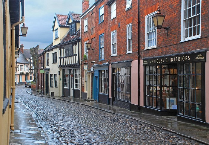
Photo: TripAdvisor |
East Anglia's Norfolk is rural and non-metropolitan. Norfolk is the fifth largest ceremonial county in England, covering 5,371 km² (2,074 sq mi). It borders Lincolnshire northwest, Cambridgeshire west and southwest, and Suffolk south. The Wash and North Sea border it to the northwest and east. The county seat is Norwich. Norfolk has 859,400 residents and an area of 2,074 square miles (5,370 km2). Its population density is 401 per square mile (155 per km2). Norwich (213,000), Great Yarmouth (63,000), King's Lynn (46,000), and Thetford (25,000) account for 40% of the county's population.
Rivers and lakes in the east of the county extend into Suffolk as the Broads. The Broads Authority protects it like a national park.
Norfolk is different from Britain's mountainous regions in beauty. Its tranquil Broads, windswept marshlands, and empty beaches can make travelers feel truly away from it all, a rare feat in one of Europe's most crowded countries. You won't have to compete with other tourists while wildlife watching on the riverbanks or exploring the flint villages. Norwich has a vibrant cultural scene, a few famous sights, and great food and drink to help you feel connected.
Lucky Norfolk, on the east coast, is drier than most because England's west coast gets the most rain. Summer is warm and you can usually go outside without getting wet. The beaches are popular during English school holidays in late July and August, but there are miles of them, so you should find a spot. Sep is usually warm enough for beach days.
Winter brings Christmas markets, ice skating rinks, and open fires to towns. Spring is a comfortable season with warm weather, bright countryside colors, and fewer people in beaches and towns. In May, the Norfolk and Norwich Festival, one of the country's oldest arts festivals, features live music, theater, and orchestral concerts in regional venues.
Take a narrow gauge steam train on the Bure Valley Railway through Norfolk's most scenic Broads. If you love vintage transport, take another charming steam train ride through the fields at the Wells and Walsingham Railway.
You'll probably visit Norfolk's wetlands, so learn about the ecosystems before you go. One of the best places to learn about the county's diverse wildlife is Green Quay, an interactive museum. View the Norfolk wetlands' aquatic animals and learn about climate change.
Want to tour noble family homes and elegant gardens? Norfolk is full of National Trust properties. Blickling Hall, a red-brick mansion, is one of the county's most popular heritage sites. Other, lesser-known buildings worth visiting include the moat-encircled Oxburgh Hall, whose history is fascinating, and Felbrigg Hall, with its grand mahogany libraries and well-kept gardens.
The Norfolk Broads connect several picturesque villages with tranquil waterways. Some of the small villages, like St. Olaves, are worth disembarking for. After touring its medieval priory and mill, dine at a village inn with Waveney River views.
Winterton Dunes National Nature Reserve is the best place for solitary walks along deserted shores. Visit in December and January to see the grey seal colony cooing over their adorable new pups.
8. Sussex
Photo: Britannica |
Formerly known as Sūþsēaxe ('South Saxons'), Sussex is a county in South East England that was once a medieval Anglo-Saxon kingdom. It borders Hampshire, Surrey, Kent, the English Channel, and West Sussex and East Sussex, which are ceremonial counties.
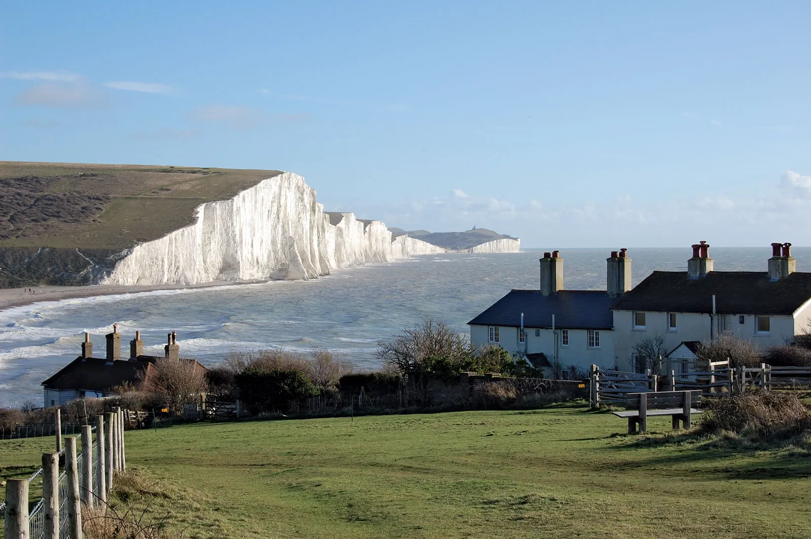
Brighton and Hove, part of East Sussex, became a unitary authority in 1997 and is administered separately. Brighton and Hove became cities in 2000. Before then, Sussex's only city was Chichester. Brighton and Hove is Sussex's most populous city and the 15th largest UK conurbation. Major towns like Crawley, Worthing, and Eastbourne have over 100,000 residents. Sussex is divided into three east-west subregions. Southwest coastal plain is fertile and densely populated. Further north are the chalk South Downs and the wooded Sussex Weald.
Sussex was home to Europe's earliest hominids, Homo heidelbergensis, whose Boxgrove remains are 500,000 years old. Sussex was crucial to the Roman conquest of Britain, with early Roman signs in Britain. Cogidubnus received a Chichester-centered client kingdom after local chieftains allied with Rome. Sussex was founded after the Romans left Britain. Legend has it that Ælle, King of Sussex, founded it in AD 477. After being annexed by Wessex in 827, it became a county of England. Sussex was crucial to the Norman conquest of England when William, Duke of Normandy, landed at Pevensey and fought the decisive Battle of Hastings in 1066.
Flower-filled meadows, orchards, hop gardens, and sandstone outcrops are visible. Wildlife thrives in the diverse landscape.
The High Weald, once untamed and wooded with patches of wild grassland and heath land, now has the highest proportion of ancient woodland in the country. This area changes constantly, making it a new sight.
Few medieval landscapes remain in the country like the High Weald.
Sussex's South Downs town of Arundel is 10 miles from Chichester. The Norman castle and Gothic cathedral make this charming town a tourist favorite.
Cobbled streets, traditional tea rooms, galleries, restaurants, and specialty shops are there. Beautiful meadows, greenery, and English countryside make this town charming.
Many charming village pubs and miles of dramatic scenery are in the South Downs region.
Visit the Town Square Farmer's Market and have afternoon tea at one of the tearooms in this relaxed and friendly town.
Arundel Castle was built shortly after the Norman Conquest and has been restored and expanded. Many noble dynasties have lived in the country's second-largest castle, which has Barons Hall and the Library in 40 acres of beautiful surroundings.
Hastings, a seaside town 35 miles east of Brighton, is famous for the Battle of 1066. William the Conqueror arrived in England in 1066 to a bustling Hastings.
The famous Battle of Hastings took place a few miles north at Battle. Hastings became a fashionable Victorian seaside resort over time. The town has Europe's largest fishing fleet and continues its maritime tradition.
Visitors can learn about local history at the Old Town Hall Museum in narrow streets and timbered buildings. The 20th and 21st century British art exhibitions at the Jerwood Gallery are nearby.
9. Dorset
Photo: Rossi Writes |
Dorset borders the English Channel in South West England. The ceremonial county includes Bournemouth, Christchurch, Poole, and Dorset. Dorset borders Devon to the west, Somerset to the north-west, Wiltshire to the north-east, and Hampshire to the east. Dorchester, in the south, is county seat. The county's border was extended eastward to include Bournemouth and Christchurch after the 1974 local government reorganization. The rest of Dorset is rural and sparsely populated, with half the population in the South East Dorset conurbation.
Humans have lived in the county since the Neolithic. After the Romans defeated Dorset's Celtic tribe, the Saxons settled the area and made it a shire in the 7th century. The first Viking raid on Britain was in Dorset in the eighth century, and the Black Death entered England at Melcombe Regis in 1348. Dorset has seen much civil unrest: in the English Civil War, Oliver Cromwell's forces crushed a vigilante uprising near Shaftesbury, the Monmouth Rebellion began at Lyme Regis, and Tolpuddle farm laborers helped found the trade union movement. Dorset prepared for the Normandy invasion during World War II, using Portland and Poole as embarkation points. Both have clubs or hire venues for sailing, Cornish pilot gig rowing, sea kayaking, and powerboating. The former hosted the 2012 Summer Olympics sailing event.
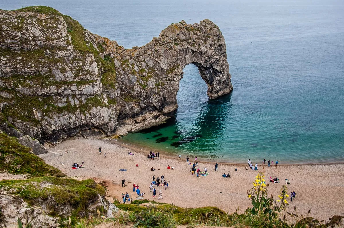
Dorset has broad chalk downs, steep limestone ridges, and low clay valleys. An Area of Outstanding Natural Beauty covers over half the county. The Jurassic Coast Natural World Heritage Site covers three-quarters of its geologically and palaeontologically significant coastline. Lulworth Cove, Isle of Portland, Chesil Beach, and Durdle Door are notable features. Tourism is growing in Dorset as agriculture declines. Dorset has no motorways but many A roads and two London railway main lines. Poole, Weymouth, and Portland have ports, and Bournemouth has an international airport. The county hosts the Great Dorset Steam Fair, one of Europe's largest, and many museums, theaters, and festivals. William Barnes, whose poetry celebrates the Dorset dialect, and Thomas Hardy, who set his novels in the county, were born there.Dorset borders the English Channel in South West England. The ceremonial county includes Bournemouth, Christchurch, Poole, and Dorset. Dorset borders Devon to the west, Somerset to the north-west, Wiltshire to the north-east, and Hampshire to the east. Dorchester, in the south, is county seat. The county's border was extended eastward to include Bournemouth and Christchurch after the 1974 local government reorganization. The rest of Dorset is rural and sparsely populated, with half the population in the South East Dorset conurbation.
Humans have lived in the county since the Neolithic. After the Romans defeated Dorset's Celtic tribe, the Saxons settled the area and made it a shire in the 7th century. The first Viking raid on Britain was in Dorset in the eighth century, and the Black Death entered England at Melcombe Regis in 1348. Dorset has seen much civil unrest: in the English Civil War, Oliver Cromwell's forces crushed a vigilante uprising near Shaftesbury, the Monmouth Rebellion began at Lyme Regis, and Tolpuddle farm laborers helped found the trade union movement. Dorset prepared for the Normandy invasion during World War II, using Portland and Poole as embarkation points. Both have clubs or hire venues for sailing, Cornish pilot gig rowing, sea kayaking, and powerboating. The former hosted the 2012 Summer Olympics sailing event.
Dorset has broad chalk downs, steep limestone ridges, and low clay valleys. An Area of Outstanding Natural Beauty covers over half the county. The Jurassic Coast Natural World Heritage Site covers three-quarters of its geologically and palaeontologically significant coastline. Lulworth Cove, Isle of Portland, Chesil Beach, and Durdle Door are notable features. Tourism is growing in Dorset as agriculture declines. Dorset has no motorways but many A roads and two London railway main lines. Poole, Weymouth, and Portland have ports, and Bournemouth has an international airport. The county hosts the Great Dorset Steam Fair, one of Europe's largest, and many museums, theaters, and festivals. William Barnes, whose poetry celebrates the Dorset dialect, and Thomas Hardy, who set his novels in the county, were born there.
10. Gwynedd
Photo: LovetoEscape |
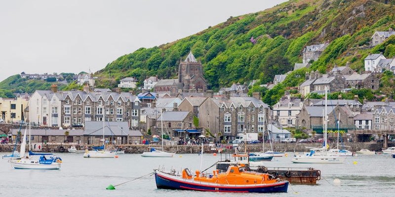
In north-west Wales, Gwynedd is a county and preserved county (with different boundaries; includes Anglesey). Denbighshire, Anglesey, Powys, Conwy County Borough, and Ceredigion border it across the Menai Strait and River Dyfi. Most of Snowdonia National Park and the scenic Llŷn Peninsula are in Gwynedd. Bangor hosts Bangor University.
As a local government area, it is Wales' second largest and sparsest. Most people speak Welsh. One of Wales' preserved counties, Gwynedd covers Anglesey and Gwynedd. Culturally and historically named after the Kingdom of Gwynedd, Gwynedd can also be used for most of North Wales, including the Gwynedd Constabulary's area. As of the 2011 Census, the area is 2,548 square kilometres (984 square miles) with 121,874 people.
Historians like J. E. Lloyd believed that "Gwynedd" meant "collection of tribes" in Celtic, like the Irish fine, meaning "tribe". An early ethnonym for the Irish, Féni, is linked to fían, meaning "company of hunting and fighting men, company of warriors under a leader". The Indo-European root may be *u̯en-, u̯enə (strive, hope, wish). After the Roman era, Irish settled in NW Wales and Dyfed. In Penmachno, a memorial stone from c. AD 500 reads: Cantiori Hic Iacit Venedotis ("Here lies Cantiorix, citizen of Gwynedd"). The Brythons kept the name when Gwynedd was founded in the 5th century until Edward I's invasion. When the county was formed in 1974, this name returned.
Top 10 Most Beautiful Cities In The UK Ten cities in the UK have been selected in the list of most beautiful cities of the country. What are they and why? |
Top 10 Most Beautiful Beaches In The UK England is a land of beauty, and perfect destination for holidays and relaxation. Here is top 10 most beautiful beaches in the UK. |