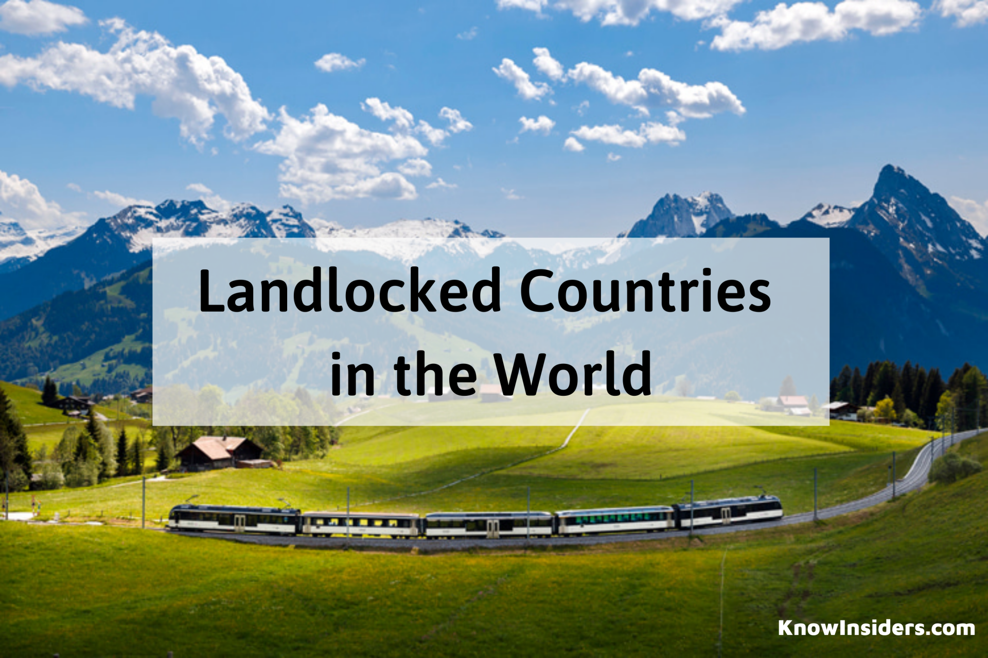
Full List of the Landlocked States in the U.S
 |
| What are the landlocked states of the United States? |
| Table of Contents |
North America is home to the United States of America (U.S.A. or USA), also referred to as the United States (U.S. or US) or America. It is made up of 326 Indian reservations, five large unincorporated territories, a federal district, fifty states, and a few smaller possessions.
With a total area of 3.8 million square miles (9.8 million square kilometers), it ranks third or fourth in the world. Along with limited maritime borders with the Bahamas, Cuba, and Russia, the United States shares significant land borders with Canada to the north and Mexico to the south.
It is the third most populous country in the world, home to over 331 million people. New York City is the most populated city, and Washington, D.C. is the capital of the country.
What is landlocked state?
Any state whose borders do not touch an ocean, gulf, or bay is considered landlocked. The contiguous 48 states of the North American continent contain all of the landlocked states of the United States. When reaching an ocean, gulf, or bay requires passing through just one other state in the United States, one state in Mexico, or one province in Canada, sixteen states and the nation's capital, Washington, D.C., are referred to as singly landlocked. Hawaii is the only state that borders only water and no other territory; it is an entirely insular state.
Because one must pass through two US states, two Mexican states, or two Canadian provinces in order to access a large body of water, ten states are referred to as doubly landlocked.
There are only three states that a person must pass through to reach an ocean, gulf, or bay: Nebraska, two states in the United States, and one province in Canada.
The Singly Landlocked States Of The United States
 |
| Photo: Shutterstock |
Arizona And Arkansas
While the Gulf of California is reachable via the Mexican state of Sonora, the Pacific Coast is reachable from Arizona via the states of California. Arizona cannot reach the Gulf without going over the international border due to a small strip of land on the Mexican state. Arkansas can cross over into Texas, Louisiana, or Mississippi to get to the Gulf of Mexico. But out of the two states, Louisiana provides the quickest route to the Gulf.
District Of Columbia And Idaho
The states of Maryland and Virginia both gave up land for the establishment of the Union's capital, which led to the creation of the District of Columbia, the nation's capital, on July 16, 1790. Either state will allow the capital to cross over to the Atlantic. Conversely, Idaho can reach the Pacific coast by traveling through the Canadian Province of British Columbia, Oregon, or Washington. There are less restrictions and a shorter route in Washington and Oregon than there is along the British Columbian coast, which is farther away and requires crossing an international border.
Kentucky And Michigan
Through the State of Virginia, the State of Kentucky has access to the Atlantic Ocean. To access Lake Mississippi, the state can also travel into Illinois or Indiana; to access Lake Erie, it can travel into Ohio. Michigan can travel through the Province of Ontario to reach the James Bay in Canada. With the exception of Lake Toronto, Michigan shares borders with four of the five Great Lakes. The Saint Lawrence Seaway connects the state to the Atlantic Ocean via the Great Lakes.
Minnesota And Montana
Minnesotans must travel through Manitoba to access the Hudson Bay, or through Ontario to access the James Bay. Nonetheless, Minnesota has direct access to Lake Superior, which opens the Saint Lawrence Seaway, which connects the state to the Atlantic Ocean. Montanans, however, cannot reach the Pacific Coast without passing through the Province of British Columbia. But the quickest path from Montana to the Pacific passes through the states of Idaho and Washington.
Nevada And New Mexico
Nevadans have to travel through either California or Oregon in order to reach the Pacific coast. Conversely, in order to reach the Gulf of Mexico, New Mexicans must cross Texas. Alternatively, New Mexicans can enter the Pacific by traveling across the international border into the Gulf of California and Sonora.
North Dakota And Ohio
On the Canadian side of the border, Ohio has access to the James Bay through the Province of Ontario. Nonetheless, the state shares a border with Erie, which allows for access to the Atlantic Ocean via the Saint Lawrence Seaway. The province of Manitoba provides access to the Hudson Bay for North Dakota. The shortest route to the Atlantic is via Minnesota to Lake Superior because of the international border and the distance to Hudson Bay.
Oklahoma And Pennsylvania
In order for Oklahomans to reach the Gulf of Mexico, they must cross Texas. Although it is much farther away, one can reach the Pacific coast by traveling via Arizona, New Mexico, and California. However, Pennsylvania has multiple ways to reach the Atlantic Ocean: via Delaware, New York, Maryland, or New Jersey. Through Ontario, the state has access to the James Bay as well. Although Pennsylvania has direct access to Lake Erie, traveling to the Atlantic via the Saint Lawrence Seaway requires much more time.
Tennessee, Vermont And West Virginia
Tennessee residents can reach the Atlantic Ocean by way of Georgia, Virginia, or North Carolina. As an alternative, they can travel through Alabama and Mississippi to reach the Gulf of Mexico. To get to Lake Michigan, Tennesseans can also travel through Kentucky, Indiana, or Illinois. Vermonters use New Hampshire, Massachusetts, or New York to get to the Atlantic. In order to access the Hudson and James Bays, they can also cross the international border into Quebec. West Virginia uses Maryland or Virginia to reach the Atlantic.
Doubly Landlocked
 |
| Photo: WorldAtlas |
The 10 doubly landlocked states, with routes to their nearest ocean, gulf, or bay:
- Colorado – New Mexico or Oklahoma, then Texas to the Gulf of Mexico; or, Arizona then California to the Pacific Ocean or Sonora to the Gulf of California
- Illinois – Michigan (water boundary) then Ontario to James Bay or, Kentucky then Virginia to the Atlantic Ocean
- Indiana – Michigan then Ontario to Hudson Bay; or, Kentucky then Virginia to the Atlantic Ocean
- Iowa – Minnesota then Manitoba or Ontario to James Bay or Hudson Bay
- Kansas – Oklahoma then Texas to the Gulf of Mexico
- Missouri – Arkansas then Louisiana, or Tennessee then Mississippi, or Oklahoma then Texas, to the Gulf of Mexico; or, Kentucky then Virginia to the Atlantic Ocean
- South Dakota – Minnesota then Ontario to James Bay; or North Dakota then Manitoba to Hudson Bay
- Utah – Idaho then British Columbia, Washington or Oregon to the Pacific Ocean; or Nevada or Arizona, then California to the Pacific Ocean or Sonora to the Gulf of California; or Nevada then Oregon to the Pacific Ocean
- Wisconsin – Michigan or Minnesota, then Ontario to James Bay or Manitoba to Hudson Bay
- Wyoming – Idaho then British Columbia, Washington or Oregon to the Pacific Ocean; or, Montana then British Columbia to the Pacific Ocean
Triply Landlocked
 |
| Photo: KETV |
The only state that is triple landlocked is Nebraska. From Nebraska, you have to pass through at least three states to get to an ocean, gulf, or bay. For example, you have to pass through Missouri, Tennessee, and North Carolina to get to the Atlantic Ocean, Wyoming, Idaho, and Oregon to get to the Pacific Ocean, or Kansas, Oklahoma, and Texas to get to the Gulf of Mexico. An alternative route to reach Hudson Bay is via the Dakotas and Manitoba, which together comprise two U.S. states and a Canadian province.
| Nebraska has a population of over 1.9 million people living in an area of just over 77,220 square miles (200,000 km2). Omaha, a city on the Missouri River, is the largest city, and Lincoln serves as the capital. After the American Civil War ended, in 1867, Nebraska was granted admission to the Union. The unicameral Nebraska Legislature is unique among American legislatures in that candidates are chosen solely on the basis of their political party affiliation. Nebraska is divided into two main geographical regions: the Great Plains and the Dissected Till Plains. The state's two biggest cities, Omaha and Lincoln, are located in the Dissected Till Plains region, which is made up of gently rolling hills. The majority of western Nebraska is part of the Great Plains region, which is distinguished by treeless prairie. There are two main climate zones in Nebraska. The state's eastern two thirds experience a humid continental climate (Köppen climate classification Dfa); in contrast, a distinct warmer subtype known as "warm-temperate" exists close to the southern plains, resembling the humid subtropical climate of Kansas and Oklahoma. The climate of the Panhandle and the surrounding areas that border Colorado is mostly semi-arid (Köppen BSk). The state's summer and winter temperatures vary greatly, with the differences decreasing as one moves south. Tornadoes and violent thunderstorms mostly happen in the spring and summer, though they can also happen in the fall. The state typically gets considerably warmer in the winter and early spring thanks to chinook winds. |
 Facts About Landlocked Countries in The World Facts About Landlocked Countries in The World Landlocked countries have some very unique issues that they have to deal with. In this article, we're going to explore the definition of landlocked countries ... |
 What Is The Biggest and Smallest State in the US? What Is The Biggest and Smallest State in the US? What state is the biggest in the US? That’s a big question. Read on this article and you will find the answer. |
 What Is the Official Language Of The U.S - Top 10 Most Common Languages What Is the Official Language Of The U.S - Top 10 Most Common Languages Most of people in the US speak English but do you know English is not the official language of this country. So what is the ... |
 What Is Your Love Style Based On Zodiac Signs? What Is Your Love Style Based On Zodiac Signs? What can your zodiac signs tell you about your love style? Believe it or not, read on for all the big reveals. |