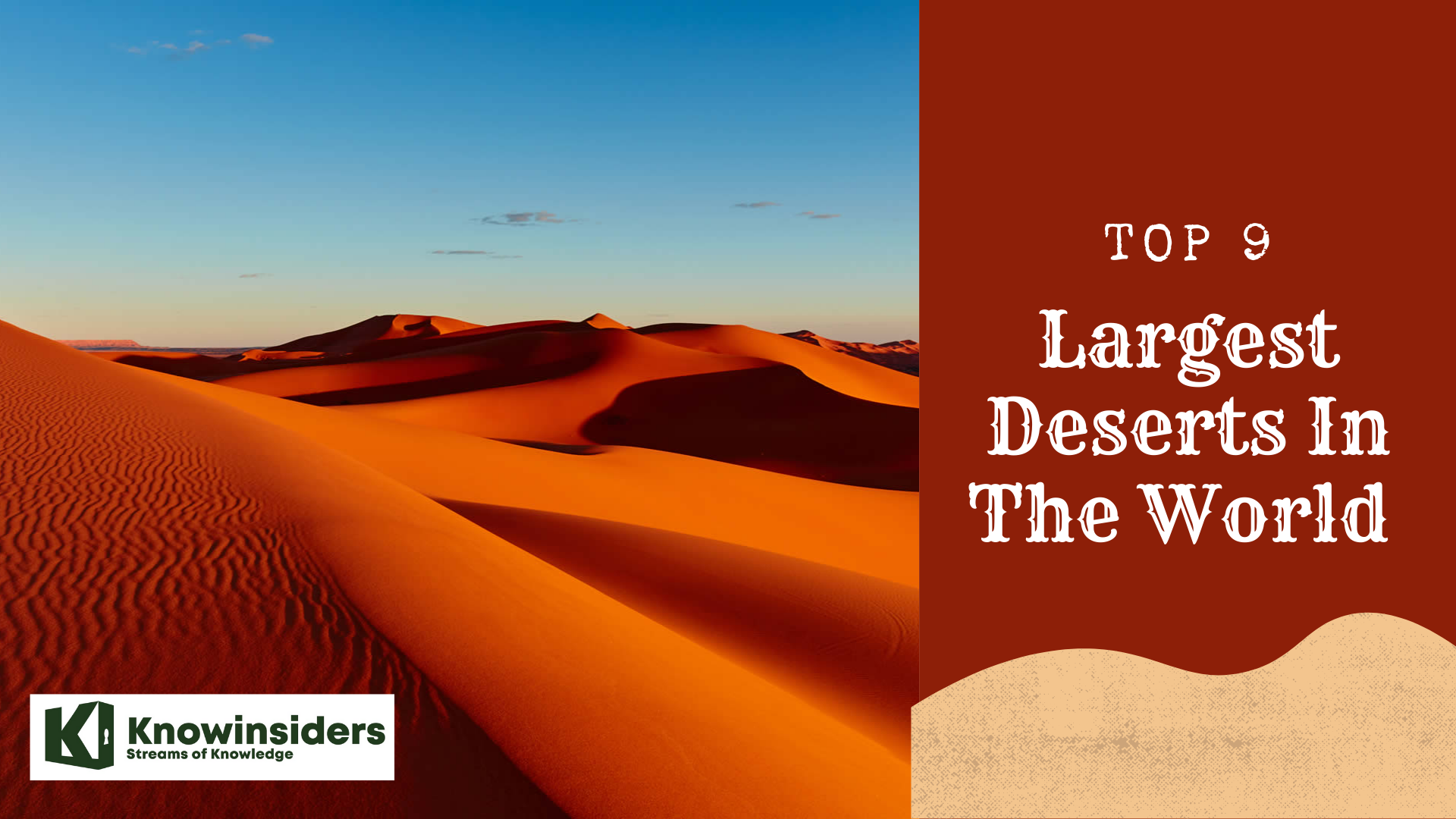
Top 10 Largest Deserts on Earth for Discovering
♦ The Mystery of 10 Biggest Deserts In The World
♦ Top 10 Largest and Beautiful Deserts In The United States
 |
| Top Largest Deserts In The World. Photo: knowinsiders.com |
| Table of Contents |
Deserts are a defining geographical phenomenon, covering roughly a third of Earth's land area.
The 10 largest deserts on Earth are discussed here, along with information on their size, characteristics, location, and a few random but hopefully helpful facts.
Discover: The Mystery of 10 Biggest Deserts In The World
What are the largest deserts in the world?
(Ranked by Knowinsiders.com 2023)
1. Antarctic - 5.5 million square miles
The Antarctic region is known as the polar desert. The world's largest desert, the Antarctic Desert, envelops the whole continent of Antarctica, which is located above the South Pole. There are many more honors attached to the region's name than just being the biggest desert. Antarctica is the world's coldest, driest, windiest, and continent with the highest average elevation.
Tucked away around the South Pole, the site of the coldest temperature ever recorded on Earth and where sunlight is scarce for several months of the year, it can be hard to imagine the icy continent of Antarctica as a desert. It is the largest in the world, though, even though it receives very little precipitation—less than 2 inches (50 millimeters) on average per year, mostly in the form of snow. Because of the extreme cold, rain cannot fall on the continent; instead, raindrops freeze into tiny snowflakes that cover the surface of the massive ice sheets.
Though very little snowfall occurs in Antarctica, large glaciers cover 99 percent of the continent's surface. This is because the average temperature of minus 54 degrees Fahrenheit, or negative 48 degrees Celsius, is the point at which evaporation stops. Snowfall increases over a long period of time at a rate greater than Antarctica's ice loss, according to "Discovering Antarctica," a project of the Royal Geographical Society in the United Kingdom.
Still, a part of Antarctica is warming considerably in lockstep with global warming. The Antarctic Peninsula has seen temperature increases of 4.5 degrees Fahrenheit (2.5 degrees Celsius) in the last 50 years—five times faster than the global average. Furthermore, scientists think that warm ocean waves may be melting Antarctica's glaciers as they pass beneath the ice floes.
 |
| The Antarctic Desert is the world’s largest desert. Photo: safarisafricana. |
| The Antarctic is a continent-wide desert, unlike most others. As a matter of fact, 98 percent of them are permanently encased in a layer of ice. With only 10 mm of annual precipitation on average, it is regarded as a desert. According to some experts, there hasn't been any rain in some areas of the country that are far from the coast in the last 14 million years. |
2. Arctic - 5.4 million square miles
The Arctic tundra is the only other polar desert on Earth. It encompasses many northern countries, including Russia, Greenland, Canada, and Asia. It is enormous, second only to the Antarctic (13.9 million sq. km.) at an astounding 5.4 million square miles. It is also considered a desert because of the lack of precipitation and the freezing air's incapacity to hold moisture. It receives six to ten inches of rain annually on average, which is less than that of the Antarctic.
Situated in the planet's northern polar region, the Arctic Desert is the second largest desert globally. It is extremely cold. Stretching 2,000 km east to west and 1,000 km north to south across an area of the Arctic Ocean, the desert encompasses multiple island groups off the northern coasts of Russia and Norway.
With the exception of an annual precipitation rate of 50 cm, or roughly the same as the Sahara, the Arctic Desert and the Antarctic Desert share many similar environmental features.
The Arctic Studies Center states that over the course of earth's history, the climate in the region that is now home to the Arctic Desert has varied between periods that were noticeably warmer and extended, noticeably colder spells known as Ice Ages (ACS). Periods of intense cold during an ice age (glaciations) and interglacial intervals, which last between 10,000 and 40,000 years, are also recognized.
Later, glaciers advance to the north of continents that are situated far south of the Arctic. The last of these glacial epochs ended 10,000 years ago, according to ACS. People like the Eskimos have lived in the Arctic for thousands of years, ever since the first humans are thought to have lived in Western Siberia some 40,000 years ago. On the North American side of the Arctic, in what is now Alaska, human habitation dates back 15,000 years. According to research, Greenland and Canada saw the emergence of human settlements in the Arctic some 4,000 years ago.
 |
| The bleak Arctic Desert of Norway’s Svalbard island. Photo: safarisafricana. |
| There are various species of plants and animals that have adapted to survive at the Arctic desert. The Arctic tundra has about 1,700 plant species, including flowering plants, dwarf shrubs, herbs, grasses, mosses, and lichens. Tundra vegetation is generally comprised tiny plants only a few centimeters in height, and these generally grow together in huddles. |
3. Sahara - 3.5 million square miles
The world's largest hot desert is the Sahara, also known as "the Greatest Desert." It is the third-largest desert in the world according to our list of the top ten.
The Sahara Desert is located in the most northern part of the African continent. More specifically, the Western Sahara, Sudan, Algeria, Chad, Egypt, Libya, Mali, Mauritania, Morocco, Niger, and Tunisia are all included in the region that is known as the Sahara. Because of its size, it makes up 25% of Africa's landmass. The word "Sahara" comes from the Arabic word çahra, which means "desert."
The Sahara is the largest subtropical desert in the world, covering 3.5 million square miles (9 million sq. km). It covers more than a third of all of Africa and eleven countries. The area is well known for its intense heat and towering sand dunes that rise to a height of 183 meters. Despite these harsh conditions, a variety of desert animals, such as camels, lizards, and scorpions, call this place home. The Sahara has only a few water sources, but it does have two rivers and twenty seasonal lakes.
Apart from its vast size, the Sahara is renowned for its extreme dearth of precipitation. The yearly precipitation in the second-largest desert in the world is less than 0.9 inches (25 mm). According to NASA estimates, the east side of the desert may receive as little as 0.2 inches (5 mm) of rain annually.
Water rarely hits the ground, but when it does, it often condenses into fog over the desert. In fact, the Sahara can get pretty chilly at night because there isn't much vegetation to retain heat after the sun sets. The fog might be brought on by the abrupt change in temperature between day and night.
Another notable feature of the desert is Emi Koussi, a tall volcano in Chad located close to the southern tip of the Tibesti Range. Rising 11,204 feet (3,415 meters) above sea level, lava flows and other volcanic structures seem to have formed as recently as two million years ago. The southern flank of the volcano also has a thermally active region.
 |
| A camel caravan makes its way over the Saharan sand dunes. Photo: safarisafricana |
4. Arabian - 1.0 million square miles
The second-largest subtropical desert in the world is the Arabian Desert. Encompassing most of Asia's Arabian Peninsula, it spans an area of approximately 1.0 million square miles (2.6 million square kilometers). It may seem barren and sandy, but it is surprisingly rich in natural resources, such as oil and sulfur. Summertime highs of up to 50 degrees Celsius are typical, but lows of much lower temperatures occur at night. Locusts and dung beetles are native to this barren area.
In the middle of the Arabian Desert in Saudi Arabia lies one of the world's largest continuous sand masses, complete with postcard-perfect sand dunes. The area is called Ar-Rub Al-Khali, or "The Empty Quarter."
The Arabian Desert includes Saudi Arabia, the neighboring countries of Oman, and a portion of Iraq. The desert may be hot and dry, depending on where you are.
| It can reach a scorching, dry 129 F (54 C) in the interior of the desert. The Encyclopedia Britannica states that regions near the coast and in the highlands, on the other hand, have higher humidity levels and occasionally see fog and dew during the day's cooler hours. |
Rainfall varies by region and can range from 0 to 20 inches (0 to 500 mm) annually, with an average of less than 4 inches (100 mm). Nonetheless, human activity has partially greened and artificially irrigated the desert.
Over the previous three decades, crop circles appeared all over Saudi Arabia, based on a series of Landsat images. NASA claims that these are possible due to engineers tapping into a more than 20,000-year-old "fossil" water aquifer. If demand keeps growing at its current rate, the water supply will run out in 50 years.
 |
| Photo: bestplus. |
 Top 9 Largest Deserts In The World Top 9 Largest Deserts In The World Covering approximately one-third of our planet’s land surface, deserts are a defining geographical phenomenon. Here are th top 9 largest deserts in the world. |
5. Gobi - 0.5 million square miles
The Gobi Desert is a large desert region in East Asia that includes most of Northern China and Southern Mongolia. It is the second-largest desert in Asia and the third-largest cold desert on Earth.
The Gobi Desert, which covers a sizable portion of both China and Mongolia, is described by Encyclopedia Britannica as being both arid and more "monsoon-like" in certain areas, meaning that it experiences both wet and dry seasons. The annual rainfall varies from 50 to 200 millimeters, or about 2 to 8 inches, depending on the region. Particularly in the summer, the eastern part receives a lot of rain, just like monsoons do in areas with higher rainfall.
It is spread across portions of China and Mongolia (1.3 million sq. km.), with an area of 0.5 million square miles. It has historically been an important trading route because of its primarily rocky and compacted topography. Like all conventional semiarid deserts, the Gobi experiences scorching summer temperatures and bone-chilling winter temperatures.
The Gobi Desert, also referred to as a rain shadow desert, was compelled to become a desert due to the presence of mountains that obstruct rainy, plant-growing conditions. Despite being a desert, the Gobi is renowned for its unusual wildlife, which includes Bactrian camels and snow leopards.
Unusual zigzag patterns in the Gobi appeared in Google images in 2011, which sparked a number of conspiracy theories, including the possibility that aliens were present. Jonathan Hill, a research technician and mission planner at Arizona State University's Mars Space Flight Facility, asserts that the lines were most likely used to calibrate Chinese spy satellites so that the spacecraft could help itself find its own orientation in orbit.
| The Gobi is also a good spot for dinosaur-hunting. A rare Tyrannosaurus Rex skeleton uncovered in that region was auctioned off in 2012, fetching $1 million amid a legal dispute. |
 |
| Dawn in the Gobi Desert. Photo: safarisafricana. |
6. Patagonian - 0.26 million square miles
Argentina is home to the Patagonian Desert, also known as the Patagonian Steppe, which is the sixth-largest desert in the world. Its approximate area is 0.26 million square miles, or 0.67 million square kilometers. The longest mountain range in the world, the Andes, is to the west, and the Atlantic Ocean is to the east. Given that they are both semiarid deserts, it is comparable to the Gobi Desert. The ground is covered in frost in the winter, but because the area is so dry, snowfall is rare.
Stretching south from latitude 37° to 51° S, it comprises a large steppe and desert region with a surface area of about 260,000 square miles (673,000 square kilometers). Generally speaking, Patagonia's borders are as follows: the Patagonian Andes to the west; the Colorado River to the north (apart from where it extends north of the river into Andean borderlands); the Atlantic Ocean to the east; and the Strait of Magellan to the south. The region shared by Argentina and Chile to the south of the strait is known as Tierra del Fuego.
| The Tehuelche Indians, the original inhabitants of the region, were referred to as Patagones by Spanish explorers in the 16th century, which is thought to be the origin of the name Patagonia. The first European explorer of the region, Ferdinand Magellan, a Portuguese navigator, is said to have named the Tehuelche after seeing it and being reminded of Patagon, a canine-headed monster from the 16th-century Spanish romance Amadís of Gaul. |
This entire region is a harsh desert scrub steppe, covered in thorn thicket and rocky shrubland, and is prone to year-round frosts and strong winds. However, Patagonia is home to a wide range of creatures, including armadillos, llamas, and foxes.
Patagonia is impacted by the westerly air current in the South Pacific, which carries humid winds from the ocean to the continent. But these winds lose moisture as they travel through the Andes and along South America's west coast due to condensation and cooling, so by the time they reach Patagonia, they are parched. Patagonia can be divided into its two main climate zones, northern and southern, by drawing a line from the Andes, at roughly latitude 39° S, to a point just south of the Valdés Peninsula, at approximately latitude 43° S.
The majority of the first people to settle in Patagonia were Tehuelche Indians, who are thought to have originated in Tierra del Fuego. Harpoons and other early artifacts found in the caves close to the Strait of Magellan suggest that these people were migrating up the mainland coast approximately 5,100 years ago. The powerful and towering Tehuelche were split into two groups, one in the north and one in the south, each with its own dialect. Spanish explorers found that the Tehuelche were a nomadic group of rhea and guanaco hunters. Due to their nearly complete assimilation into Spanish culture, very few of these people's descendants remain alive today.
 |
| Dust and clouds combine in this image of Argentina, including the Patagonian Desert. (Image credit: NASA/Jeff Schmaltz, LANCE/EOSDIS MODIS Rapid Response Team at NASA GSFC) |
The Spanish attempted to colonize the Patagonian coast at the end of the 16th century in an attempt to drive out English pirates, but their efforts failed, and a Jesuit settlement on the San Matías Gulf was abandoned. When the English attempted to establish a settlement on the same bay in 1778, the Spanish responded by establishing the first two towns in Patagonia, San José and Viedma (formerly known as Nuestra Señora del Carmen). After a Spanish settlement at Puerto Deseado from 1780 to 1803, this area was once more uninhabited by Europeans three years later.
7. Great Victoria - 0.25 million square miles
The Great Victoria Desert in Australia is a subtropical area. It is the seventh-largest desert in the world, covering 0.25 million square miles (0.65 million sq. km). The harsh terrain is made up of grassland, rocks, hard packed earth, and sand. Summertime highs of up to 40 degrees Celsius are possible. Like most subtropical deserts, it is still very hot in the winter but is milder. The Great Victoria receives eight to ten inches of rain per year on average.
According to a Government of South Australia atlas, parallel dunes and a few salt lakes make up the majority of the Great Victoria Desert, which covers a large portion of Australia. The dunes' dominant red color, which comes from the Western Australian Shield, changes to white as one moves south due to shoreline sands.
The local government in Australia reports that there is "variable and unexpected rainfall" in the area. Rainfall totals from 1890 to 2005 averaged approximately 6.4 inches (162 mm) per year. Because of the harsh environment, most of the desert is separated into Crown Land, Aboriginal lands, and conservation areas; there are no large cities in this area.
Throughout the 19th century, camels were brought to Australia from India, Afghanistan, and Arabia to be used in the desert. Today, camels represent one of the Outback's greatest ecological threats. The estimated 750,000 feral camels damage infrastructure and use excessive amounts of water, according to a 2013 BBC article. "Camels are almost singularly brilliant at surviving the circumstances in the Outback," according to explorer Simon Reeve. Introducing them was both a short-term genius and a long-term disaster.
 |
| Very remote spinifex grass covered spot in the Great Victoria Desert in central Australia. Image credit: N Mrtgh/Shutterstock. |
8. Kalahari - 0.22 million square miles
The subtropical Kalahari desert is located in southern Africa. Covering parts of Namibia, Botswana, and South Africa, it is the eighth largest desert in the world, spanning 0.22 million square miles (0.56 million sq. km). It is interesting to note that it gets four to eight inches of rain a year, but twenty in very rainy years—ten more than is usually appropriate for a place to be called a desert. It is nevertheless classified as a semi-desert. Many wild animals can be found in this area, such as kudu, wildebeest, hyena, and meerkat.
The Kalahari Desert covers a sizable area of Namibia, Botswana, and South Africa. The region receives less than 20 inches (500 mm) of rain on average per year, with some areas receiving as little as 8 inches (200 mm) on average, according to David G. Thomas and Paul A. Shaw's 1991 book The Kalahari Environment.
The main cover of the Kalahari, described as "featureless" by Encyclopedia Britannica, is made up of sand sheets that were most likely created by wind and rain between 2.6 million and 11,700 years ago. The sheets haven't really changed since then.
Human activity existed in the Kalahari thousands of years ago. At the South African Wonderwerk Cave, one of the excavation sites, archaeologists found evidence of flames that were ignited approximately a million years ago. Different artifacts discovered in the Tsodilo Hills of Botswana suggested that humans engaged in ritualistic behavior 70,000 years ago.
| The vegetation that grows there is heavily impacted by the deep sand cover that covers most of the area. Although annuals that grow quickly after a good rain may be able to sow seeds that will last until the next good rainy season, shallow-rooted plants cannot survive as perennials. Trees that can reach permanently moist sand levels through their roots do well. |
The southern and central Kalahari Deserts have no surface drainage and only a few small, scattered waterholes that hold surface water. When rain does fall, the deep sand quickly absorbs almost all of it. A portion of the water is absorbed by the underlying rock layers, a portion is drawn up from the depths by tree roots and evaporates into the atmosphere, and a portion is released onto leaf surfaces. Pans may momentarily absorb a very small amount that settles on non-sandy surfaces; however, this occurs only immediately following infrequent downpours. Numerous regions of the central and southern Kalahari have extensive ancient drainage networks discovered, some through aerial photography and some on the ground. None of these continue to work, even in the wettest of years.
 |
| Big nest of weaver birds in the kalahari desert, Namibia. Image credit: Thomas Noitz/Shutterstock. |
9. Great Basin - 0.19 million square miles
One of North America's "big four" deserts, the Great Basin is 0.19 million square miles (0.49 million sq. km) in size. It covers the majority of Utah and Nevada, spanning many states. It is a dry area of clay, silt, and sand that lies directly to the north of the Mojave Desert. Despite being a semiarid desert, it receives some snow throughout the winter. A local Bristlecone Pine is reputed to be the oldest living thing in the world at 4,950 years old.
The Great Basin is a "cold" desert, which means that most of the precipitation falls as snow. This distinguishes it from every other desert in the United States. Its geographic range encompasses the majority of Nevada, a portion of Utah, and fragments of other neighboring states. The region receives between 6 and 12 inches (150 and 300 mm) of rain per year.
According to the National Park Service, the Sierra Nevada Mountains in eastern California's rain shadow caused the area to become a desert. In turn, the desert has an impact on the region around it. Frequently, the powerful Santa Ana winds, which originate in the Great Basin's high pressure regions, blow into Southern California.
The Great Basin is also the location of several peculiar rocks, such as those that were discovered in central Nevada in 2009 and were said to drip like honey. The Earth's mantle is changing as a result of the high pressure and heat near the surface of the planet, which is what is causing the deformation. As the lithosphere warms up, heavier material sinks into the lighter mantle, pulling material behind it.
| One notable feature of the Great Basin is its internal drainage system, which prevents precipitation from reaching the sea by eventually causing closed valleys from falling on the surface. For instance, the Humboldt River in northern Nevada rises in ranges in the northeast of the state, drains several tiny valleys as it flows west, and empties into Humboldt Sink, a closed basin. The Great Salt Lake collects most of the drainage from the area that hasn't evaporated or seeped underground en route. It is located in the last and lowest catchment basin in western Utah. |
 |
| The great basin desert from the air. Photo: safarisafricana. |
It has turned out that minerals are the main resource in the Great Basin. Nevada is a leading producer of gemstones, silver, lithium, and diatomite. Significant amounts of the country's gold, magnesite, barite, and mercury are also produced there. One of the top producers of iron ore, copper, silver, gold, and molybdenum is Utah. Moreover, it is the leading producer of ore beryllium.
The majority of Utahns live in the Salt Lake City region, which is centered around the western base of the Wasatch Range. Wells in this area supply the region's water needs by drawing from both mountain streams and a sizable subterranean water reservoir. In a similar vein, much of the population of western Nevada, centered on Reno, is situated along the east front of the Sierra Nevada, which supplies most of the water for the area. This is on the other side of the Great Basin.
10. Syrian - 0.19 million square miles
The Syrian Desert, also known as Bdiyat Al-Shm in Arabic, is an arid wasteland in southwest Asia that includes a sizable area of northern Saudi Arabia, eastern Jordan, southern Syria, and western Iraq. Until recently, it was almost impenetrable, with an average annual rainfall of less than 5 inches (125 mm) and a surface mostly covered in lava flows, dividing the populated regions of Mesopotamia and the Levant. But now it's crossed by a number of significant highways and oil pipelines. In the late 1970s, there was a lot of oil prospecting. The desert, which is the home of its southern region known as Al-ammd, is home to many nomadic tribes and Arabian horse breeders.
 |
| Sweeping sand and rock formations in the Syrian Desert. Photo: safarisafricana. |
The Syrian Desert is referred to by Merriam-Webster as a "arid wilderness." The area, which makes up a sizable chunk of Saudi Arabia, Iraq, Jordan, and Syria, is known for its lava flows and was thought to be a "impenetrable barrier" to humankind until recently. Today, the region is traversed by highways and oil pipelines, and it receives less than 5 inches (125 mm) of rainfall on average per year.
But in the past, humans were able to access part of it. One site was discovered in 2009 and is currently referred to as "Syria's Stonehenge." In 2012, a report by Discovery News claimed that it had stone circles and possibly even burial sites.
The Es Safa volcano field near Damascus is the largest volcanic field in Arabia. The vents found there were active about 12,000 years ago, during the Holocene Epoch. A lake of boiling lava was found nearby about 1850.
 Top 10 Most Beautiful Temples in The World Top 10 Most Beautiful Temples in The World Check out this top 10 most beautiful temples in the world that you can pay a visit in the future in the article below. |
 Top 10 Most Famous Temples in America Top 10 Most Famous Temples in America Since Hinduism has become one of the major religions in America, this country has been a place for many beautiful and majestic temples. Here is ... |
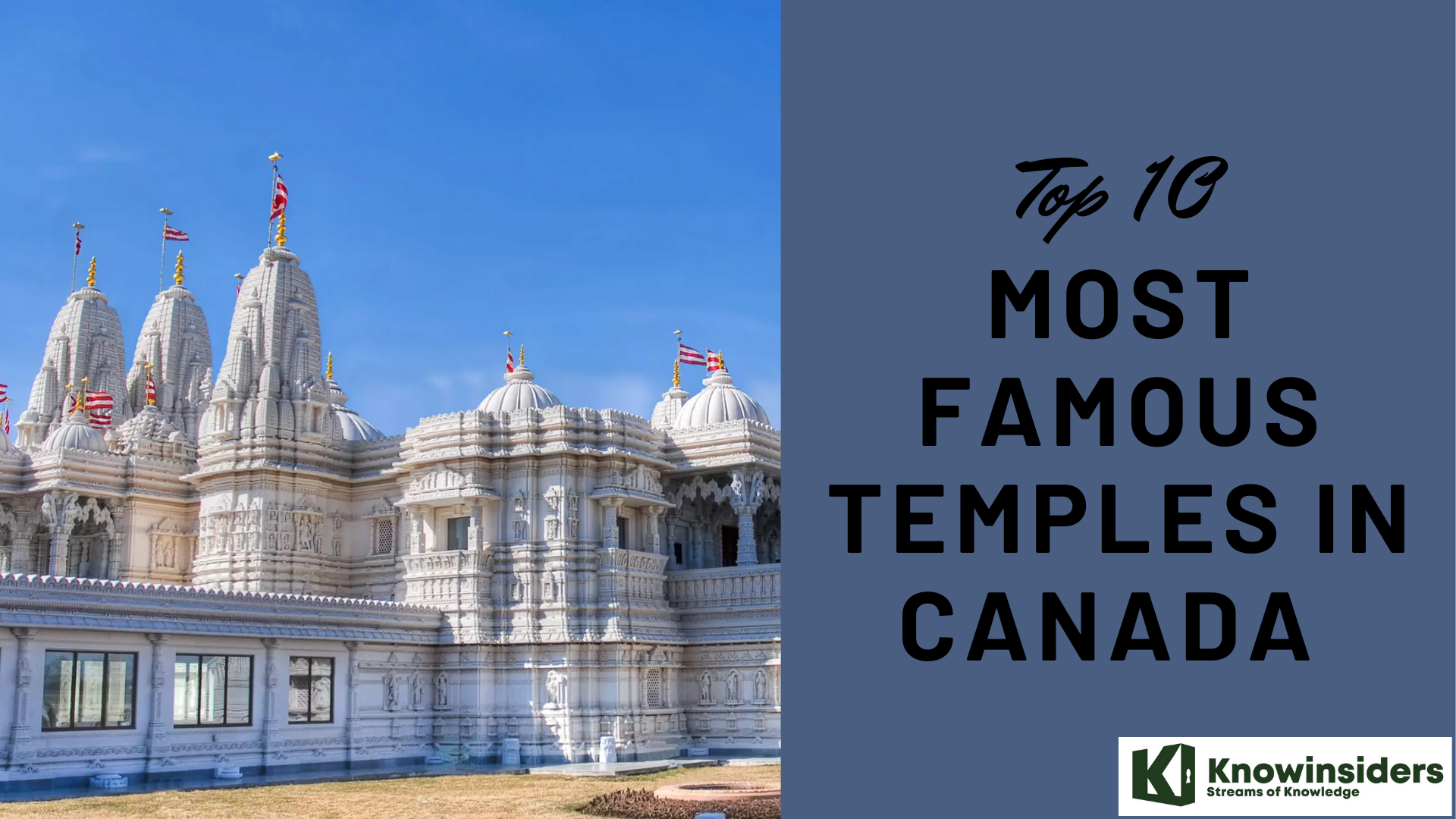 Top 10 Most Famous Temples in Canada Top 10 Most Famous Temples in Canada Let's check out this article below for top 10 most famous temples in Canada for your next religious trips in the future. |